Tour de France
- 61.9 km
- 277 m
- 396 m
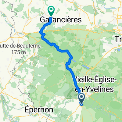
- Rambouillet, Île-de-France Region, France
A cycling route starting in Rambouillet, Île-de-France Region, France.
Overview
Stage 21 Rambouillet-Paris Champs-Elysees
created this 10 years ago
Continue with Bikemap
You would like to ride Tour de France or customize it for your own trip? Here is what you can do with this Bikemap route:
Free trial for 3 days, or one-time payment. More about Bikemap Premium.
Discover more Premium features.
Get Bikemap PremiumFrom our community
Open it in the app