

werra-wesser (holzminden
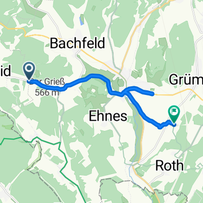
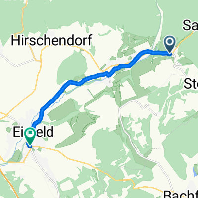
A cycling route starting in Bachfeld, Thuringia, Germany.
Overview
About this route
None (cloned from route 1060526) (cloned from route 3037967)
- -:--
- Duration
- 348.6 km
- Distance
- 222 m
- Ascent
- 628 m
- Descent
- ---
- Avg. speed
- ---
- Max. altitude
Continue with Bikemap
Use, edit, or download this cycling route
You would like to ride werra-wesser (holzminden or customize it for your own trip? Here is what you can do with this Bikemap route:
Free features
- Save this route as favorite or in collections
- Copy & plan your own version of this route
- Split it into stages to create a multi-day tour
- Sync your route with Garmin or Wahoo
Premium features
Free trial for 3 days, or one-time payment. More about Bikemap Premium.
- Navigate this route on iOS & Android
- Export a GPX / KML file of this route
- Create your custom printout (try it for free)
- Download this route for offline navigation
Discover more Premium features.
Get Bikemap PremiumFrom our community
Other popular routes starting in Bachfeld
 An der jungen Werra
- Distance
- 108.1 km
- Ascent
- 454 m
- Descent
- 699 m
- Location
- Bachfeld, Thuringia, Germany
 Bachfelder Weg, Eisfeld nach Rother Weg 7, Schalkau
- Distance
- 8.7 km
- Ascent
- 197 m
- Descent
- 316 m
- Location
- Bachfeld, Thuringia, Germany
 Fietsvakantie 2017, dag 6
- Distance
- 86.6 km
- Ascent
- 563 m
- Descent
- 528 m
- Location
- Bachfeld, Thuringia, Germany
 werra-wesser (holzminden
- Distance
- 348.6 km
- Ascent
- 227 m
- Descent
- 631 m
- Location
- Bachfeld, Thuringia, Germany
 werra-wesser (holzminden
- Distance
- 348.6 km
- Ascent
- 222 m
- Descent
- 628 m
- Location
- Bachfeld, Thuringia, Germany
 Hauptstraße 34, Eisfeld nach Georgstraße 25A, Eisfeld
- Distance
- 6.4 km
- Ascent
- 28 m
- Descent
- 89 m
- Location
- Bachfeld, Thuringia, Germany
 Kurze Runde Werrateich
- Distance
- 9.6 km
- Ascent
- ---
- Descent
- ---
- Location
- Bachfeld, Thuringia, Germany
 Radrunde vom 7. Mai, 08:25
- Distance
- 12.5 km
- Ascent
- 252 m
- Descent
- 257 m
- Location
- Bachfeld, Thuringia, Germany
Open it in the app