

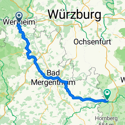
Taubertal- Radtour Wertheim- Rothenburg
A cycling route starting in Wertheim am Main, Baden-Wurttemberg, Germany.
Overview
About this route
- -:--
- Duration
- 123.2 km
- Distance
- 1,779 m
- Ascent
- 1,616 m
- Descent
- ---
- Avg. speed
- 316 m
- Max. altitude
Route quality
Waytypes & surfaces along the route
Waytypes
Track
48 km
(39 %)
Quiet road
34.5 km
(28 %)
Surfaces
Paved
107.2 km
(87 %)
Unpaved
6.2 km
(5 %)
Asphalt
96.1 km
(78 %)
Paved (undefined)
9.9 km
(8 %)
Continue with Bikemap
Use, edit, or download this cycling route
You would like to ride Taubertal- Radtour Wertheim- Rothenburg or customize it for your own trip? Here is what you can do with this Bikemap route:
Free features
- Save this route as favorite or in collections
- Copy & plan your own version of this route
- Split it into stages to create a multi-day tour
- Sync your route with Garmin or Wahoo
Premium features
Free trial for 3 days, or one-time payment. More about Bikemap Premium.
- Navigate this route on iOS & Android
- Export a GPX / KML file of this route
- Create your custom printout (try it for free)
- Download this route for offline navigation
Discover more Premium features.
Get Bikemap PremiumFrom our community
Other popular routes starting in Wertheim am Main
 Von Wertheim bis Ebrach
- Distance
- 93.8 km
- Ascent
- 1,302 m
- Descent
- 1,111 m
- Location
- Wertheim am Main, Baden-Wurttemberg, Germany
 Von Wertheim bis Rothenburg ob der Tauber
- Distance
- 95.4 km
- Ascent
- 2,039 m
- Descent
- 1,755 m
- Location
- Wertheim am Main, Baden-Wurttemberg, Germany
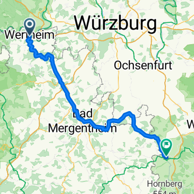 Wertheim- Rothenburg
- Distance
- 95.3 km
- Ascent
- 1,665 m
- Descent
- 1,383 m
- Location
- Wertheim am Main, Baden-Wurttemberg, Germany
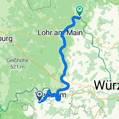
 Von Wertheim bis Lohr am Main
- Distance
- 43.1 km
- Ascent
- 432 m
- Descent
- 419 m
- Location
- Wertheim am Main, Baden-Wurttemberg, Germany
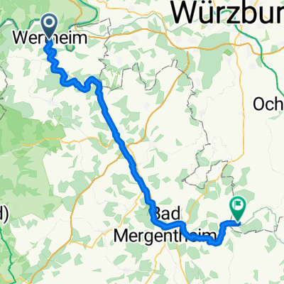
 2 Wertheim - Bad Mergentheim
- Distance
- 50.4 km
- Ascent
- 1,067 m
- Descent
- 1,001 m
- Location
- Wertheim am Main, Baden-Wurttemberg, Germany
 Von Wertheim bis Tauberrettersheim
- Distance
- 66.7 km
- Ascent
- 1,150 m
- Descent
- 1,059 m
- Location
- Wertheim am Main, Baden-Wurttemberg, Germany
 Taubertal- Radtour Wertheim- Rothenburg
- Distance
- 123.3 km
- Ascent
- 530 m
- Descent
- 236 m
- Location
- Wertheim am Main, Baden-Wurttemberg, Germany
 Neunkirchen - Gemünden am Main
- Distance
- 67 km
- Ascent
- 705 m
- Descent
- 864 m
- Location
- Wertheim am Main, Baden-Wurttemberg, Germany
Open it in the app