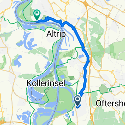
WDF_Johannishof_WDF
- 34.5 km
- 51 m
- 44 m
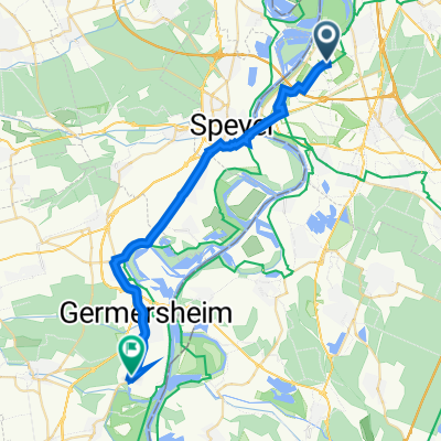
- Ketsch, Baden-Wurttemberg, Germany
A cycling route starting in Ketsch, Baden-Wurttemberg, Germany.
Overview
None (cloned from route 135050)
created this 10 years ago
Route highlights
START
Continue with Bikemap
You would like to ride Ketsch-Speyer or customize it for your own trip? Here is what you can do with this Bikemap route:
Free trial for 3 days, or one-time payment. More about Bikemap Premium.
Discover more Premium features.
Get Bikemap PremiumFrom our community
Open it in the app