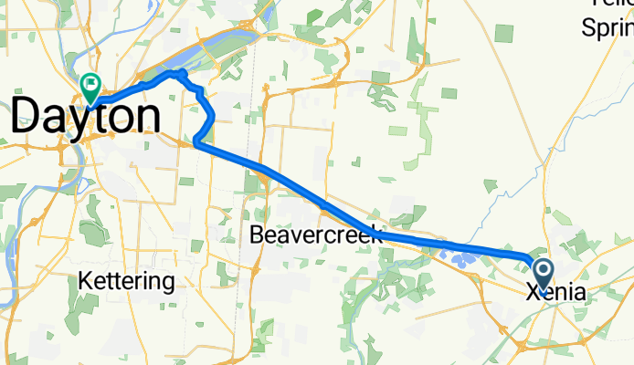
Xenia - Dayton Solo
A cycling route starting in Xenia, Ohio, United States of America.
Overview
About this route
I can and I did
- 1 h 53 min
- Duration
- 29.4 km
- Distance
- 61 m
- Ascent
- 115 m
- Descent
- 15.7 km/h
- Avg. speed
- ---
- Avg. speed
Route quality
Waytypes & surfaces along the route
Waytypes
Cycleway
27.6 km
(94 %)
Pedestrian area
1.1 km
(4 %)
Surfaces
Paved
12.2 km
(42 %)
Unpaved
0.8 km
(3 %)
Asphalt
6.7 km
(23 %)
Paved (undefined)
5.5 km
(19 %)
Continue with Bikemap
Use, edit, or download this cycling route
You would like to ride Xenia - Dayton Solo or customize it for your own trip? Here is what you can do with this Bikemap route:
Free features
- Save this route as favorite or in collections
- Copy & plan your own version of this route
- Sync your route with Garmin or Wahoo
Premium features
Free trial for 3 days, or one-time payment. More about Bikemap Premium.
- Navigate this route on iOS & Android
- Export a GPX / KML file of this route
- Create your custom printout (try it for free)
- Download this route for offline navigation
Discover more Premium features.
Get Bikemap PremiumFrom our community
Other popular routes starting in Xenia
- 150 Miami Ave, Xenia to Little Miami Scenic Bike Path, Xenia
- Distance
- 32.8 km
- Ascent
- 323 m
- Descent
- 248 m
- Location
- Xenia, Ohio, United States of America
- Little Miami Trail - OH - south
- Distance
- 19.6 km
- Ascent
- 91 m
- Descent
- 91 m
- Location
- Xenia, Ohio, United States of America
- bike tour from Xenia to Peacock Acres
- Distance
- 27 km
- Ascent
- 97 m
- Descent
- 75 m
- Location
- Xenia, Ohio, United States of America
- Training route 1
- Distance
- 57.6 km
- Ascent
- 224 m
- Descent
- 224 m
- Location
- Xenia, Ohio, United States of America
- Xenia to Columbus
- Distance
- 118.6 km
- Ascent
- 361 m
- Descent
- 360 m
- Location
- Xenia, Ohio, United States of America
- LMST Detour?
- Distance
- 4.7 km
- Ascent
- 20 m
- Descent
- 48 m
- Location
- Xenia, Ohio, United States of America
- Prairie Grass Trail - Cedarville to Xenia
- Distance
- 22.4 km
- Ascent
- 57 m
- Descent
- 58 m
- Location
- Xenia, Ohio, United States of America
- Xenia to Beavercreek
- Distance
- 25.1 km
- Ascent
- 63 m
- Descent
- 65 m
- Location
- Xenia, Ohio, United States of America
Open it in the app