Grenserittet 2013
A cycling route starting in Strömstad, Västra Götaland County, Sweden.
Overview
About this route
This is the Grenseritt route from 2013. It is not exact in the forested areas outside the roads marked on the map.
(cloned from route 2073422)
- -:--
- Duration
- 82.2 km
- Distance
- 604 m
- Ascent
- 518 m
- Descent
- ---
- Avg. speed
- ---
- Max. altitude
Continue with Bikemap
Use, edit, or download this cycling route
You would like to ride Grenserittet 2013 or customize it for your own trip? Here is what you can do with this Bikemap route:
Free features
- Save this route as favorite or in collections
- Copy & plan your own version of this route
- Split it into stages to create a multi-day tour
- Sync your route with Garmin or Wahoo
Premium features
Free trial for 3 days, or one-time payment. More about Bikemap Premium.
- Navigate this route on iOS & Android
- Export a GPX / KML file of this route
- Create your custom printout (try it for free)
- Download this route for offline navigation
Discover more Premium features.
Get Bikemap PremiumFrom our community
Other popular routes starting in Strömstad
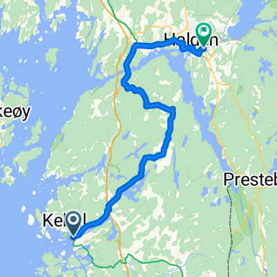
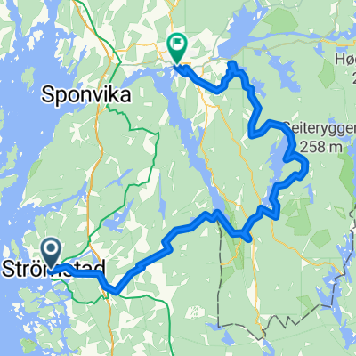
Strömstad - Karlshus- Distance
- 62.2 km
- Ascent
- 825 m
- Descent
- 834 m
- Location
- Strömstad, Västra Götaland County, Sweden
Grenserittet - trening- Distance
- 73.7 km
- Ascent
- 677 m
- Descent
- 587 m
- Location
- Strömstad, Västra Götaland County, Sweden
Laholmen, Strömstad to Vesleveien, Halden- Distance
- 42.1 km
- Ascent
- 705 m
- Descent
- 636 m
- Location
- Strömstad, Västra Götaland County, Sweden
Grensereittet 2010- Distance
- 76.5 km
- Ascent
- 690 m
- Descent
- 611 m
- Location
- Strömstad, Västra Götaland County, Sweden
Grenserittet 2013- Distance
- 82.2 km
- Ascent
- 604 m
- Descent
- 518 m
- Location
- Strömstad, Västra Götaland County, Sweden
Strømstad - Brastad- Distance
- 97.3 km
- Ascent
- 1,037 m
- Descent
- 1,003 m
- Location
- Strömstad, Västra Götaland County, Sweden
Halden - Halden- Distance
- 74 km
- Ascent
- 1,075 m
- Descent
- 1,078 m
- Location
- Strömstad, Västra Götaland County, Sweden
2005_5 Trondheim_TravemĂĽnde- Distance
- 132 km
- Ascent
- 1,452 m
- Descent
- 1,449 m
- Location
- Strömstad, Västra Götaland County, Sweden
Open it in the app

