Tarwheels Trip to SaxaPhahaw
- 67.3 km
- 282 m
- 282 m
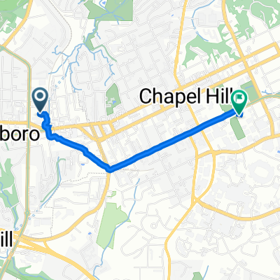
- Carrboro, North Carolina, United States
A cycling route starting in Carrboro, North Carolina, United States.
Overview
From Wilson Park to Saxaphahaw
created this 10 years ago
Route quality
Road
58.5 km
(87 %)
Undefined
8.7 km
(13 %)
Paved
52.5 km
(78 %)
Asphalt
52.5 km
(78 %)
Undefined
14.8 km
(22 %)
Route highlights
Start
Rest Stop at Cup 22
Continue with Bikemap
You would like to ride Tarwheels Trip to SaxaPhahaw or customize it for your own trip? Here is what you can do with this Bikemap route:
Free trial for 3 days, or one-time payment. More about Bikemap Premium.
Discover more Premium features.
Get Bikemap PremiumFrom our community
Open it in the app