


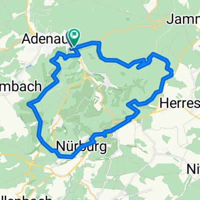
Nürburgring und Hohe Acht
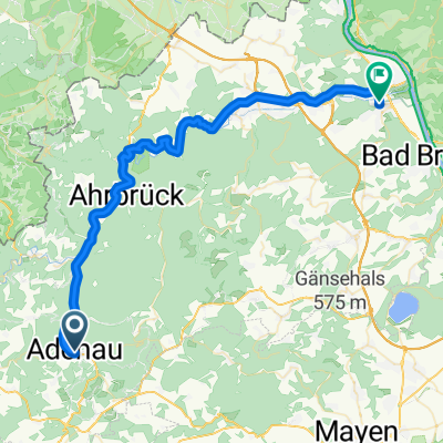
A cycling route starting in Adenau, Rhineland-Palatinate, Germany.
Overview
About this route
2
Nürburgring and Hohe Acht
- -:--
- Duration
- 29 km
- Distance
- 594 m
- Ascent
- 603 m
- Descent
- ---
- Avg. speed
- ---
- Max. altitude
wwk
created this 11 years ago
Continue with Bikemap
Use, edit, or download this cycling route
You would like to ride Nürburgring und Hohe Acht or customize it for your own trip? Here is what you can do with this Bikemap route:
Free features
- Save this route as favorite or in collections
- Copy & plan your own version of this route
- Sync your route with Garmin or Wahoo
Premium features
Free trial for 3 days, or one-time payment. More about Bikemap Premium.
- Navigate this route on iOS & Android
- Export a GPX / KML file of this route
- Create your custom printout (try it for free)
- Download this route for offline navigation
Discover more Premium features.
Get Bikemap PremiumFrom our community
Other popular routes starting in Adenau


 Radarena am Ring BULLS Achterbahn MTB Tour 2 (Adenau-Leimbach-Winnerath-Antweiler-Reifferscheid-Hochacht-Adenau)0
- 55.4 km
- 1,501 m
- 1,500 m
- Adenau, Rhineland-Palatinate, Germany


Open it in the app