Lambesc - Marseille par La Fare
A cycling route starting in Lambesc, Provence-Alpes-C么te d'Azur Region, France.
Overview
About this route
Short ride between Lambesc and Marseille via La M茅rindole, the Plateau de l'Arbois, Cabri猫s and the Massif de L'脡toile
(cloned from route 3044006)
- -:--
- Duration
- 83.9 km
- Distance
- 526 m
- Ascent
- 709 m
- Descent
- ---
- Avg. speed
- ---
- Max. altitude
Route quality
Waytypes & surfaces along the route
Waytypes
Quiet road
27.7 km
(33 %)
Road
23.5 km
(28 %)
Surfaces
Paved
27.7 km
(33 %)
Unpaved
1.7 km
(2 %)
Asphalt
27.7 km
(33 %)
Unpaved (undefined)
0.8 km
(1 %)
Continue with Bikemap
Use, edit, or download this cycling route
You would like to ride Lambesc - Marseille par La Fare or customize it for your own trip? Here is what you can do with this Bikemap route:
Free features
- Save this route as favorite or in collections
- Copy & plan your own version of this route
- Split it into stages to create a multi-day tour
- Sync your route with Garmin or Wahoo
Premium features
Free trial for 3 days, or one-time payment. More about Bikemap Premium.
- Navigate this route on iOS & Android
- Export a GPX / KML file of this route
- Create your custom printout (try it for free)
- Download this route for offline navigation
Discover more Premium features.
Get Bikemap PremiumFrom our community
Other popular routes starting in Lambesc
- Boucle Lambesc - La Roque d'Anth茅ron
- Distance
- 31.1 km
- Ascent
- 274 m
- Descent
- 274 m
- Location
- Lambesc, Provence-Alpes-C么te d'Azur Region, France
- 2022 d 67a - Route de st.anne
- Distance
- 3.1 km
- Ascent
- 96 m
- Descent
- 95 m
- Location
- Lambesc, Provence-Alpes-C么te d'Azur Region, France
- Lambesc-Cornillon-Lambesc
- Distance
- 63.3 km
- Ascent
- 292 m
- Descent
- 292 m
- Location
- Lambesc, Provence-Alpes-C么te d'Azur Region, France
- Lambesc -Charleval
- Distance
- 8.9 km
- Ascent
- 190 m
- Descent
- 389 m
- Location
- Lambesc, Provence-Alpes-C么te d'Azur Region, France
- gorges de la nesque
- Distance
- 170.1 km
- Ascent
- 2,149 m
- Descent
- 2,149 m
- Location
- Lambesc, Provence-Alpes-C么te d'Azur Region, France
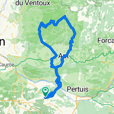
- Lambesc-Ventabren-Lambesc
- Distance
- 63.9 km
- Ascent
- 513 m
- Descent
- 513 m
- Location
- Lambesc, Provence-Alpes-C么te d'Azur Region, France
- 24/10/10 CC Lambesc 2
- Distance
- 56.1 km
- Ascent
- 511 m
- Descent
- 501 m
- Location
- Lambesc, Provence-Alpes-C么te d'Azur Region, France
- BC - Le Verdon....
- Distance
- 236.6 km
- Ascent
- 1,288 m
- Descent
- 1,288 m
- Location
- Lambesc, Provence-Alpes-C么te d'Azur Region, France
Open it in the app