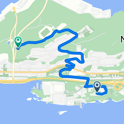
Fageria - Olsvika - Mørkeset - Kvennhuselva (tur-retur)
- 48.4 km
- 407 m
- 411 m
- Ålesund, Møre og Romsdal, Norway
A cycling route starting in Ålesund, Møre og Romsdal, Norway.
Overview
alesund
created this 10 years ago
Route quality
Quiet road
10.4 km
(43 %)
Road
6.5 km
(27 %)
Paved
18.8 km
(78 %)
Unpaved
2.2 km
(9 %)
Asphalt
18.8 km
(78 %)
Loose gravel
1.4 km
(6 %)
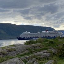
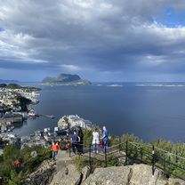
Route highlights
Continue with Bikemap
You would like to ride alesund or customize it for your own trip? Here is what you can do with this Bikemap route:
Free trial for 3 days, or one-time payment. More about Bikemap Premium.
Discover more Premium features.
Get Bikemap PremiumFrom our community
Open it in the app