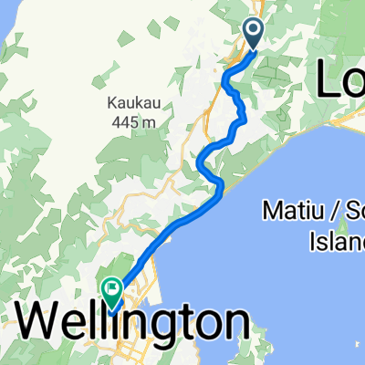
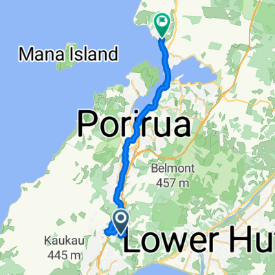
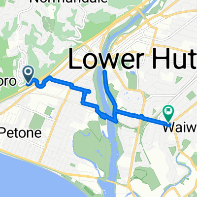
jville porirua wallace
A cycling route starting in Petone, Wellington Region, New Zealand.
Overview
About this route
- -:--
- Duration
- 91.9 km
- Distance
- 523 m
- Ascent
- 524 m
- Descent
- ---
- Avg. speed
- ---
- Max. altitude
Continue with Bikemap
Use, edit, or download this cycling route
You would like to ride jville porirua wallace or customize it for your own trip? Here is what you can do with this Bikemap route:
Free features
- Save this route as favorite or in collections
- Copy & plan your own version of this route
- Split it into stages to create a multi-day tour
- Sync your route with Garmin or Wahoo
Premium features
Free trial for 3 days, or one-time payment. More about Bikemap Premium.
- Navigate this route on iOS & Android
- Export a GPX / KML file of this route
- Create your custom printout (try it for free)
- Download this route for offline navigation
Discover more Premium features.
Get Bikemap PremiumFrom our community
Other popular routes starting in Petone
 Belmont Trig including Cannon Belmont Trig including Cannon- Distance
- 18.7 km
- Ascent
- 980 m
- Descent
- 985 m
- Location
- Petone, Wellington Region, New Zealand
 
 Mark Avenue 232, Wellington to Salamanca Road 32, Wellington Mark Avenue 232, Wellington to Salamanca Road 32, Wellington- Distance
- 13.3 km
- Ascent
- 92 m
- Descent
- 178 m
- Location
- Petone, Wellington Region, New Zealand
 
 NZ to Perth NZ to Perth- Distance
- 9,914 km
- Ascent
- 4,763 m
- Descent
- 4,647 m
- Location
- Petone, Wellington Region, New Zealand
 
 32 Quigley St, Wellington to 785 Highway 2, Upper Hutt 32 Quigley St, Wellington to 785 Highway 2, Upper Hutt- Distance
- 106.5 km
- Ascent
- 3,246 m
- Descent
- 2,911 m
- Location
- Petone, Wellington Region, New Zealand
 
 Mark Avenue 232, Wellington to Upland Road 1, Wellington Mark Avenue 232, Wellington to Upland Road 1, Wellington- Distance
- 14.1 km
- Ascent
- 401 m
- Descent
- 451 m
- Location
- Petone, Wellington Region, New Zealand
 
 J'ville to Easy Waonui Bike trails J'ville to Easy Waonui Bike trails- Distance
- 40.8 km
- Ascent
- 612 m
- Descent
- 609 m
- Location
- Petone, Wellington Region, New Zealand
 
 Day 1 Hutt River Trail Day 1 Hutt River Trail- Distance
- 33.5 km
- Ascent
- 323 m
- Descent
- 48 m
- Location
- Petone, Wellington Region, New Zealand
 
 33 Trelawny Terrace, Grenada Village to 16 The Track, Plimmerton 33 Trelawny Terrace, Grenada Village to 16 The Track, Plimmerton- Distance
- 20.2 km
- Ascent
- 269 m
- Descent
- 356 m
- Location
- Petone, Wellington Region, New Zealand
 
Open it in the app

