Rangger Koepfl
A cycling route starting in Unterperfuss, Tyrol, Austria.
Overview
About this route
- -:--
- Duration
- 21.9 km
- Distance
- 1,508 m
- Ascent
- 200 m
- Descent
- ---
- Avg. speed
- 1,908 m
- Max. altitude
Route quality
Waytypes & surfaces along the route
Waytypes
Track
12.1 km
(55 %)
Quiet road
1.3 km
(6 %)
Surfaces
Paved
6.1 km
(28 %)
Unpaved
11 km
(50 %)
Gravel
10.8 km
(49 %)
Asphalt
6.1 km
(28 %)
Continue with Bikemap
Use, edit, or download this cycling route
You would like to ride Rangger Koepfl or customize it for your own trip? Here is what you can do with this Bikemap route:
Free features
- Save this route as favorite or in collections
- Copy & plan your own version of this route
- Sync your route with Garmin or Wahoo
Premium features
Free trial for 3 days, or one-time payment. More about Bikemap Premium.
- Navigate this route on iOS & Android
- Export a GPX / KML file of this route
- Create your custom printout (try it for free)
- Download this route for offline navigation
Discover more Premium features.
Get Bikemap PremiumFrom our community
Other popular routes starting in Unterperfuss
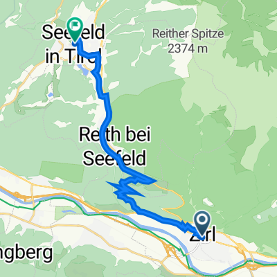
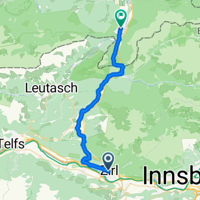
6. etappe zirl - maurach- Distance
- 63.5 km
- Ascent
- 634 m
- Descent
- 302 m
- Location
- Unterperfuss, Tyrol, Austria
Völsesgasse 10, Oberperfuss nach Rangger Köpfl 2500- Distance
- 9.9 km
- Ascent
- 1,046 m
- Descent
- 3 m
- Location
- Unterperfuss, Tyrol, Austria
Starkenberger und Adolf Pichler Hütte- Distance
- 68.2 km
- Ascent
- 2,111 m
- Descent
- 2,111 m
- Location
- Unterperfuss, Tyrol, Austria
Alpencross Mai 2010 Zirl - Seefeld in Tirol- Distance
- 10.1 km
- Ascent
- 652 m
- Descent
- 106 m
- Location
- Unterperfuss, Tyrol, Austria
10.06.23 Zirl-Strass Innradweg 4. Etappe- Distance
- 60.3 km
- Ascent
- 58 m
- Descent
- 156 m
- Location
- Unterperfuss, Tyrol, Austria
Neue Magdeburger Hütte- Distance
- 16.7 km
- Ascent
- 1,068 m
- Descent
- 1,069 m
- Location
- Unterperfuss, Tyrol, Austria
Oberperfuss -Stubaier Gletscher- Distance
- 60 km
- Ascent
- 1,287 m
- Descent
- 413 m
- Location
- Unterperfuss, Tyrol, Austria
Rangger Koepfl- Distance
- 21.9 km
- Ascent
- 1,508 m
- Descent
- 200 m
- Location
- Unterperfuss, Tyrol, Austria
Open it in the app

