

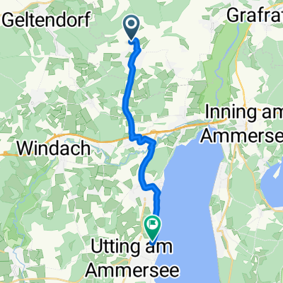
Türkenfeld-Funkturm-Ampertal-300HM
A cycling route starting in Türkenfeld, Bavaria, Germany.
Overview
About this route
24.05.15 19:10
(cloned from route 3047000)
- -:--
- Duration
- 32.8 km
- Distance
- 208 m
- Ascent
- 208 m
- Descent
- ---
- Avg. speed
- ---
- Max. altitude
Route quality
Waytypes & surfaces along the route
Waytypes
Track
18.7 km
(57 %)
Quiet road
7.2 km
(22 %)
Surfaces
Paved
11.5 km
(35 %)
Unpaved
18.7 km
(57 %)
Gravel
10.8 km
(33 %)
Asphalt
10.5 km
(32 %)
Continue with Bikemap
Use, edit, or download this cycling route
You would like to ride Türkenfeld-Funkturm-Ampertal-300HM or customize it for your own trip? Here is what you can do with this Bikemap route:
Free features
- Save this route as favorite or in collections
- Copy & plan your own version of this route
- Sync your route with Garmin or Wahoo
Premium features
Free trial for 3 days, or one-time payment. More about Bikemap Premium.
- Navigate this route on iOS & Android
- Export a GPX / KML file of this route
- Create your custom printout (try it for free)
- Download this route for offline navigation
Discover more Premium features.
Get Bikemap PremiumFrom our community
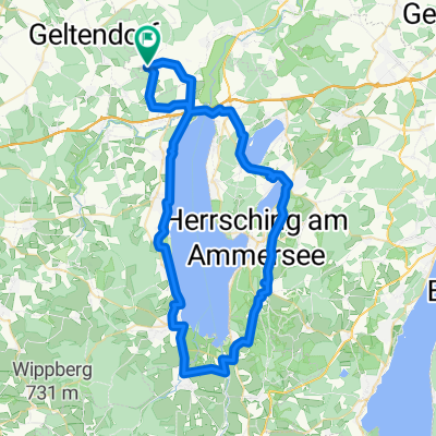
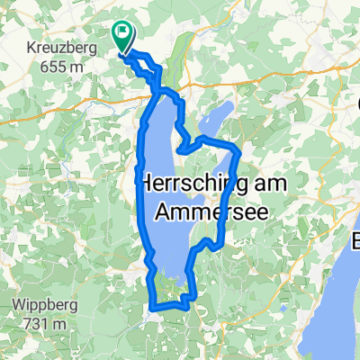
Other popular routes starting in Türkenfeld
 Recorded via Apple Watch - 03.06.21, 10:46
- Distance
- 11.8 km
- Ascent
- 47 m
- Descent
- 110 m
- Location
- Türkenfeld, Bavaria, Germany
 St-Ottilien-Straße, Türkenfeld nach St-Ottilien-Straße, Türkenfeld
- Distance
- 64.4 km
- Ascent
- 588 m
- Descent
- 588 m
- Location
- Türkenfeld, Bavaria, Germany
 Lechtour von Türkenfeld nach Diedorf
- Distance
- 69.3 km
- Ascent
- 203 m
- Descent
- 333 m
- Location
- Türkenfeld, Bavaria, Germany
 50 - 00 - TF - Ottilien
- Distance
- 4.8 km
- Ascent
- 5 m
- Descent
- 12 m
- Location
- Türkenfeld, Bavaria, Germany
 Jexhof - Türkenfeld
- Distance
- 12 km
- Ascent
- 53 m
- Descent
- 76 m
- Location
- Türkenfeld, Bavaria, Germany
 Saliterstraße 22, Türkenfeld nach Schloßbergstraße 1, Murnau am Staffelsee
- Distance
- 62.2 km
- Ascent
- 508 m
- Descent
- 418 m
- Location
- Türkenfeld, Bavaria, Germany
 Türkenfeld-Ammersee-Andechs-509Hm
- Distance
- 64.9 km
- Ascent
- 326 m
- Descent
- 326 m
- Location
- Türkenfeld, Bavaria, Germany
 Türkenfeld-Mering
- Distance
- 63.1 km
- Ascent
- 386 m
- Descent
- 387 m
- Location
- Türkenfeld, Bavaria, Germany
Open it in the app