Circuit VTT Pollyo Rouge
- 49.2 km
- 2,190 m
- 2,193 m
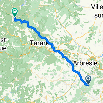
- Pollionnay, Auvergne-Rhône-Alpes, France
A cycling route starting in Pollionnay, Auvergne-Rhône-Alpes, France.
Overview
MTB loop in the mountains of Lyonnais following the markers on the trails.
created this 10 years ago
Route quality
Track
25.8 km
44 %
Quiet road
14.7 km
25 %
Paved
13.5 km
(23 %)
Unpaved
20 km
(34 %)
Ground
16.4 km
28 %
Asphalt
13.5 km
23 %
Continue with Bikemap
You would like to ride Mont du Lyonnais or customize it for your own trip? Here is what you can do with this Bikemap route:
Free trial for 3 days, or one-time payment. More about Bikemap Premium.
Discover more Premium features.
Get Bikemap PremiumFrom our community
Open it in the app