

Regenweg
A cycling route starting in Matzingen, Thurgau, Switzerland.
Overview
About this route
25.05.15 16:49
- -:--
- Duration
- 24.8 km
- Distance
- 476 m
- Ascent
- 475 m
- Descent
- ---
- Avg. speed
- ---
- Max. altitude

Route quality
Waytypes & surfaces along the route
Waytypes
Road
10.2 km
(41 %)
Track
7.2 km
(29 %)
Surfaces
Paved
15.9 km
(64 %)
Unpaved
6.7 km
(27 %)
Asphalt
15.9 km
(64 %)
Gravel
5.5 km
(22 %)
Continue with Bikemap
Use, edit, or download this cycling route
You would like to ride Regenweg or customize it for your own trip? Here is what you can do with this Bikemap route:
Free features
- Save this route as favorite or in collections
- Copy & plan your own version of this route
- Sync your route with Garmin or Wahoo
Premium features
Free trial for 3 days, or one-time payment. More about Bikemap Premium.
- Navigate this route on iOS & Android
- Export a GPX / KML file of this route
- Create your custom printout (try it for free)
- Download this route for offline navigation
Discover more Premium features.
Get Bikemap PremiumFrom our community
Other popular routes starting in Matzingen
 Regenweg
- Distance
- 24.8 km
- Ascent
- 476 m
- Descent
- 475 m
- Location
- Matzingen, Thurgau, Switzerland
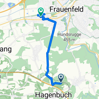
 Dorfstrasse 13, Hagenbuch nach Schwimmbadstrasse 20, Elgg
- Distance
- 5.9 km
- Ascent
- 168 m
- Descent
- 154 m
- Location
- Matzingen, Thurgau, Switzerland
 Mühle 8A–9, Matzingen nach Rychenbergstrasse 181, Winterthur
- Distance
- 17.1 km
- Ascent
- 131 m
- Descent
- 100 m
- Location
- Matzingen, Thurgau, Switzerland
 Route nach Tannenstrasse 17, Frauenfeld
- Distance
- 254.4 km
- Ascent
- 27 m
- Descent
- 199 m
- Location
- Matzingen, Thurgau, Switzerland
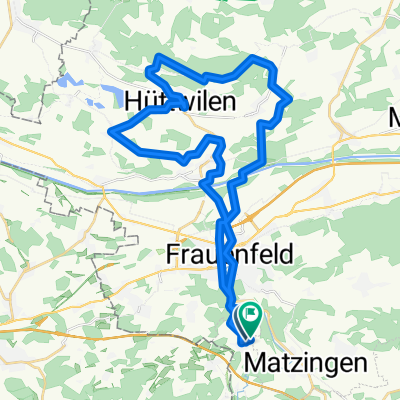
 kleine Runde über Dickbuch
- Distance
- 21 km
- Ascent
- 262 m
- Descent
- 261 m
- Location
- Matzingen, Thurgau, Switzerland
 Lauchefeld 14, Matzingen nach Iddaburg 2071, Gähwil
- Distance
- 22.7 km
- Ascent
- 628 m
- Descent
- 126 m
- Location
- Matzingen, Thurgau, Switzerland
 Seerücken
- Distance
- 40.2 km
- Ascent
- 487 m
- Descent
- 496 m
- Location
- Matzingen, Thurgau, Switzerland
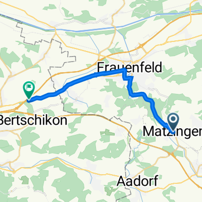 Frauenfelderstrasse 10, Matzingen nach Hauptstrasse, Gundetswil
- Distance
- 12.7 km
- Ascent
- 70 m
- Descent
- 62 m
- Location
- Matzingen, Thurgau, Switzerland
Open it in the app