

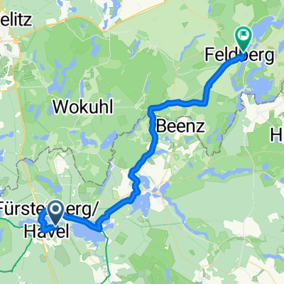
20150518_090758.gpx
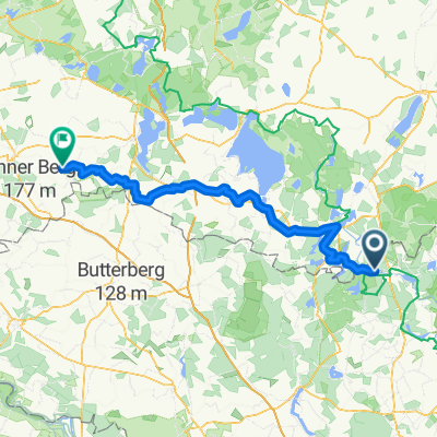
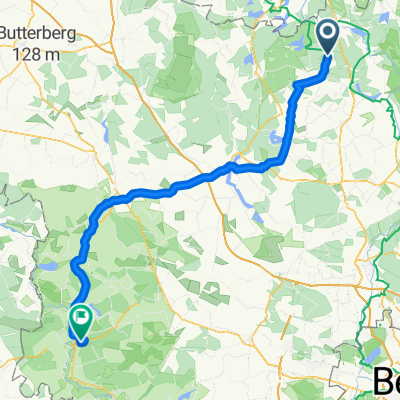
A cycling route starting in Fürstenberg, Brandenburg, Germany.
Overview
About this route
TEASI track
- -:--
- Duration
- 14.1 km
- Distance
- 77 m
- Ascent
- 72 m
- Descent
- ---
- Avg. speed
- ---
- Max. altitude
Route quality
Waytypes & surfaces along the route
Waytypes
Quiet road
4.8 km
(34 %)
Path
4.5 km
(32 %)
Surfaces
Paved
13 km
(92 %)
Unpaved
0.1 km
(1 %)
Asphalt
13 km
(92 %)
Ground
0.1 km
(1 %)
Undefined
1 km
(7 %)
Continue with Bikemap
Use, edit, or download this cycling route
You would like to ride 20150518_090758.gpx or customize it for your own trip? Here is what you can do with this Bikemap route:
Free features
- Save this route as favorite or in collections
- Copy & plan your own version of this route
- Sync your route with Garmin or Wahoo
Premium features
Free trial for 3 days, or one-time payment. More about Bikemap Premium.
- Navigate this route on iOS & Android
- Export a GPX / KML file of this route
- Create your custom printout (try it for free)
- Download this route for offline navigation
Discover more Premium features.
Get Bikemap PremiumFrom our community
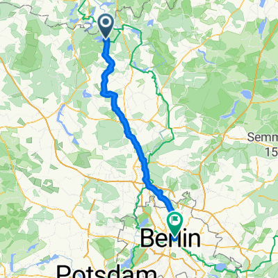
Other popular routes starting in Fürstenberg
 Brandenburger Straße, Fürstenberg/Havel nach Camp am Ellbogensee, Fürstenberg/Havel
- Distance
- 8.9 km
- Ascent
- 90 m
- Descent
- 94 m
- Location
- Fürstenberg, Brandenburg, Germany
 From Grünheide (Mark) to Märkisch Buchholz
- Distance
- 109.1 km
- Ascent
- 456 m
- Descent
- 463 m
- Location
- Fürstenberg, Brandenburg, Germany
 Seestraße, Großwoltersdorf nach Dunckerplatz, Rathenow
- Distance
- 104.3 km
- Ascent
- 305 m
- Descent
- 345 m
- Location
- Fürstenberg, Brandenburg, Germany
 Rheinsberger Seenland
- Distance
- 56.7 km
- Ascent
- 229 m
- Descent
- 229 m
- Location
- Fürstenberg, Brandenburg, Germany
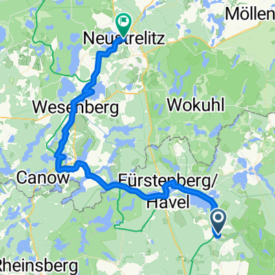 Berlin Kopenhagen Teil 5 -Neustrelitz- 57km
- Distance
- 56.7 km
- Ascent
- 191 m
- Descent
- 173 m
- Location
- Fürstenberg, Brandenburg, Germany
 Zehdenicker Straße 34d nach Weidendamm
- Distance
- 39.1 km
- Ascent
- 194 m
- Descent
- 183 m
- Location
- Fürstenberg, Brandenburg, Germany
 Fürstenberg - Waren
- Distance
- 50.7 km
- Ascent
- 166 m
- Descent
- 160 m
- Location
- Fürstenberg, Brandenburg, Germany
 Hanns-Krause-Weg, Stechlin nach Torstraße, Berlin
- Distance
- 91.4 km
- Ascent
- 263 m
- Descent
- 292 m
- Location
- Fürstenberg, Brandenburg, Germany
Open it in the app