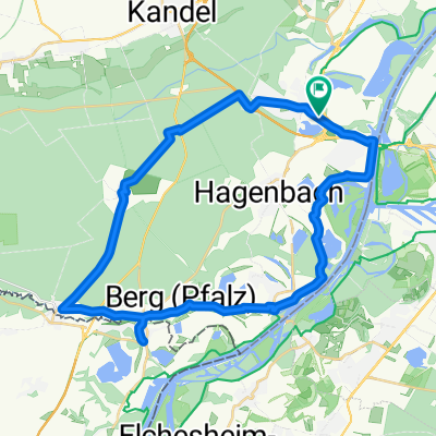
Tag_1
- 60.4 km
- 394 m
- 322 m
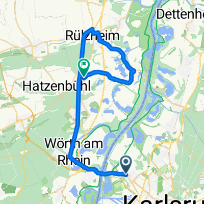
- Wörth am Rhein, Rhineland-Palatinate, Germany
A cycling route starting in Wörth am Rhein, Rhineland-Palatinate, Germany.
Overview
Unter Brücke am Rhein bei Maximilliansau parken,
dann Richtung Hagebach, Pfalz, weiter nach Lauterburg und zurück über Neuburg am Rhein zum Auto, ca 28 kmcreated this 10 years ago
Route quality
Track
9.7 km
(33 %)
Quiet road
8.5 km
(29 %)
Paved
26.2 km
(89 %)
Unpaved
0.3 km
(1 %)
Asphalt
22.6 km
(77 %)
Paved (undefined)
3.5 km
(12 %)
Continue with Bikemap
You would like to ride Wörth-Lauterbourg or customize it for your own trip? Here is what you can do with this Bikemap route:
Free trial for 3 days, or one-time payment. More about Bikemap Premium.
Discover more Premium features.
Get Bikemap PremiumFrom our community
Open it in the app