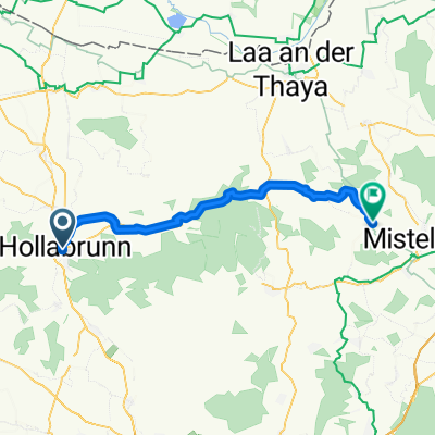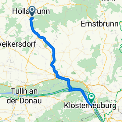
Hollabrunn - Klosterneuburg
- 40.6 km
- 135 m
- 225 m
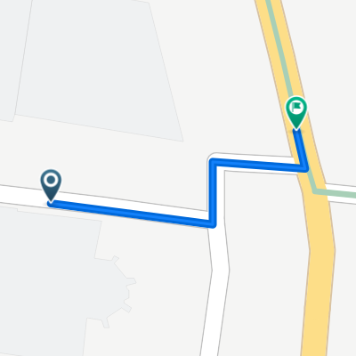
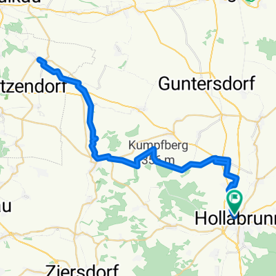
- Hollabrunn, Lower Austria, Austria
A cycling route starting in Hollabrunn, Lower Austria, Austria.
Overview
Nice ups and downs
created this 10 years ago

Route quality
Track
38.3 km
(37 %)
Quiet road
34.1 km
(33 %)
Paved
54.8 km
(53 %)
Unpaved
25.9 km
(25 %)
Asphalt
45.5 km
(44 %)
Gravel
21.7 km
(21 %)
Continue with Bikemap
You would like to ride hollabrunn-marchegg or customize it for your own trip? Here is what you can do with this Bikemap route:
Free trial for 3 days, or one-time payment. More about Bikemap Premium.
Discover more Premium features.
Get Bikemap PremiumFrom our community
Open it in the app