

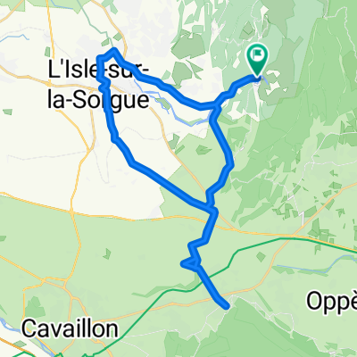
Fontaine de Vaucluse a pied
A cycling route starting in Lagnes, Provence-Alpes-Côte d'Azur Region, France.
Overview
About this route
from TopoGuides
- -:--
- Duration
- 6.2 km
- Distance
- 360 m
- Ascent
- 360 m
- Descent
- ---
- Avg. speed
- ---
- Max. altitude
Route quality
Waytypes & surfaces along the route
Waytypes
Track
3.2 km
(51 %)
Path
2.2 km
(36 %)
Surfaces
Paved
0.4 km
(7 %)
Unpaved
3.4 km
(55 %)
Gravel
2.2 km
(35 %)
Loose gravel
1.2 km
(20 %)
Route highlights
Points of interest along the route
Point of interest after 6.1 km
Continue with Bikemap
Use, edit, or download this cycling route
You would like to ride Fontaine de Vaucluse a pied or customize it for your own trip? Here is what you can do with this Bikemap route:
Free features
- Save this route as favorite or in collections
- Copy & plan your own version of this route
- Sync your route with Garmin or Wahoo
Premium features
Free trial for 3 days, or one-time payment. More about Bikemap Premium.
- Navigate this route on iOS & Android
- Export a GPX / KML file of this route
- Create your custom printout (try it for free)
- Download this route for offline navigation
Discover more Premium features.
Get Bikemap PremiumFrom our community
Other popular routes starting in Lagnes
 Fontaine-de-Vaucluse loop
- Distance
- 32.9 km
- Ascent
- 198 m
- Descent
- 197 m
- Location
- Lagnes, Provence-Alpes-Côte d'Azur Region, France
 Cabrières-d'Avignon bike tour
- Distance
- 51.8 km
- Ascent
- 504 m
- Descent
- 504 m
- Location
- Lagnes, Provence-Alpes-Côte d'Azur Region, France
 RR Runde um Lagnes - Kloster und große Quellen
- Distance
- 50.2 km
- Ascent
- 911 m
- Descent
- 914 m
- Location
- Lagnes, Provence-Alpes-Côte d'Azur Region, France
 Luberon-Runde
- Distance
- 86.5 km
- Ascent
- 1,389 m
- Descent
- 1,354 m
- Location
- Lagnes, Provence-Alpes-Côte d'Azur Region, France
 MTB Lagnes
- Distance
- 11.2 km
- Ascent
- 341 m
- Descent
- 341 m
- Location
- Lagnes, Provence-Alpes-Côte d'Azur Region, France
 Place de la Colonne, Fontaine-de-Vaucluse to Place de la Colonne, Fontaine-de-Vaucluse
- Distance
- 32.7 km
- Ascent
- 173 m
- Descent
- 173 m
- Location
- Lagnes, Provence-Alpes-Côte d'Azur Region, France
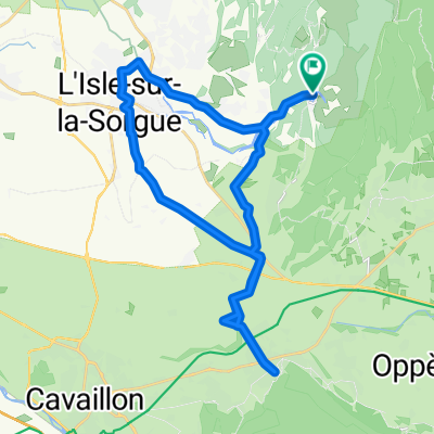
 Fontaine de Vaucluse a pied
- Distance
- 6.2 km
- Ascent
- 360 m
- Descent
- 360 m
- Location
- Lagnes, Provence-Alpes-Côte d'Azur Region, France
 Le Maquis du Chat
- Distance
- 23.2 km
- Ascent
- 196 m
- Descent
- 196 m
- Location
- Lagnes, Provence-Alpes-Côte d'Azur Region, France
Open it in the app