
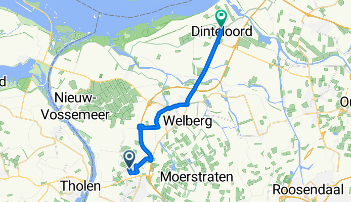
Lepelstraat Dinteloord
A cycling route starting in Lepelstraat, North Brabant, The Netherlands.
Overview
About this route
Fietsroute naar Dinteloord oplaadpunt bij de watertoren in Steenbergen Fietsen over de nieuwe A4 bij de Steenbergse vliet
- -:--
- Duration
- 16.3 km
- Distance
- 4 m
- Ascent
- 10 m
- Descent
- ---
- Avg. speed
- ---
- Max. altitude

Route quality
Waytypes & surfaces along the route
Waytypes
Quiet road
9.6 km
(59 %)
Cycleway
5.9 km
(36 %)
Surfaces
Paved
5.9 km
(36 %)
Asphalt
5.9 km
(36 %)
Undefined
10.4 km
(64 %)
Continue with Bikemap
Use, edit, or download this cycling route
You would like to ride Lepelstraat Dinteloord or customize it for your own trip? Here is what you can do with this Bikemap route:
Free features
- Save this route as favorite or in collections
- Copy & plan your own version of this route
- Sync your route with Garmin or Wahoo
Premium features
Free trial for 3 days, or one-time payment. More about Bikemap Premium.
- Navigate this route on iOS & Android
- Export a GPX / KML file of this route
- Create your custom printout (try it for free)
- Download this route for offline navigation
Discover more Premium features.
Get Bikemap PremiumFrom our community
Other popular routes starting in Lepelstraat
 oudenbosch
- Distance
- 54.2 km
- Ascent
- 34 m
- Descent
- 34 m
- Location
- Lepelstraat, North Brabant, The Netherlands
 Heerle Wouwsetol Zoomvliet Vrederust
- Distance
- 38.5 km
- Ascent
- 48 m
- Descent
- 46 m
- Location
- Lepelstraat, North Brabant, The Netherlands
 Oesterdam-Korteven-Heimolen-Lepelstraat
- Distance
- 56.3 km
- Ascent
- 42 m
- Descent
- 42 m
- Location
- Lepelstraat, North Brabant, The Netherlands
 fietsnet
- Distance
- 50.9 km
- Ascent
- 14 m
- Descent
- 13 m
- Location
- Lepelstraat, North Brabant, The Netherlands
 NK - Chantal
- Distance
- 6.7 km
- Ascent
- 4 m
- Descent
- 4 m
- Location
- Lepelstraat, North Brabant, The Netherlands
 Oude Tonge Grevelingen Lepelstraat
- Distance
- 79.8 km
- Ascent
- 19 m
- Descent
- 19 m
- Location
- Lepelstraat, North Brabant, The Netherlands
 Rondje polders Tholen Aquaduct Steenbergen
- Distance
- 34 km
- Ascent
- 4 m
- Descent
- 5 m
- Location
- Lepelstraat, North Brabant, The Netherlands
 Fietsen door de Boonhil
- Distance
- 28.9 km
- Ascent
- 0 m
- Descent
- 4 m
- Location
- Lepelstraat, North Brabant, The Netherlands
Open it in the app