

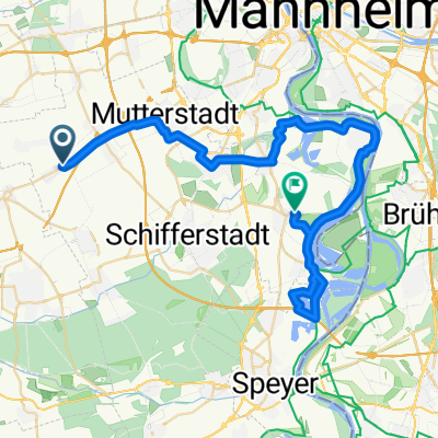
Rundweg (Rhein)-Ludwigshafen-Speyer
A cycling route starting in Hochdorf-Assenheim, Rhineland-Palatinate, Germany.
Overview
About this route
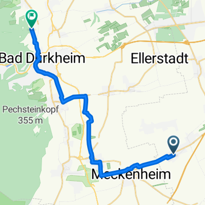
Von Hochdorf nach Ludwigshafen und am Rhein entlang nach Speyer, von dort zurück.
- -:--
- Duration
- 55.1 km
- Distance
- 33 m
- Ascent
- 37 m
- Descent
- ---
- Avg. speed
- 110 m
- Max. altitude
Route quality
Waytypes & surfaces along the route
Waytypes
Track
22.2 km
(40 %)
Path
11.5 km
(21 %)
Surfaces
Paved
41.6 km
(75 %)
Unpaved
7 km
(13 %)
Asphalt
35.7 km
(65 %)
Gravel
3.4 km
(6 %)
Continue with Bikemap
Use, edit, or download this cycling route
You would like to ride Rundweg (Rhein)-Ludwigshafen-Speyer or customize it for your own trip? Here is what you can do with this Bikemap route:
Free features
- Save this route as favorite or in collections
- Copy & plan your own version of this route
- Sync your route with Garmin or Wahoo
Premium features
Free trial for 3 days, or one-time payment. More about Bikemap Premium.
- Navigate this route on iOS & Android
- Export a GPX / KML file of this route
- Create your custom printout (try it for free)
- Download this route for offline navigation
Discover more Premium features.
Get Bikemap PremiumFrom our community
Other popular routes starting in Hochdorf-Assenheim
 Hochdorf - Freiburg-Littenweiler
- Distance
- 272.2 km
- Ascent
- 299 m
- Descent
- 93 m
- Location
- Hochdorf-Assenheim, Rhineland-Palatinate, Germany
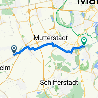
 Keltenstraße, Hochdorf-Assenheim nach Berliner Straße, Waldsee
- Distance
- 42.8 km
- Ascent
- 27 m
- Descent
- 38 m
- Location
- Hochdorf-Assenheim, Rhineland-Palatinate, Germany
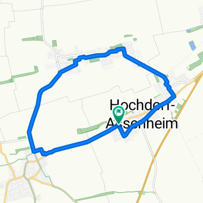 Ackerrunde
- Distance
- 9.8 km
- Ascent
- 4 m
- Descent
- 5 m
- Location
- Hochdorf-Assenheim, Rhineland-Palatinate, Germany
 Wildpark Rheingönheim
- Distance
- 12.2 km
- Ascent
- 15 m
- Descent
- 18 m
- Location
- Hochdorf-Assenheim, Rhineland-Palatinate, Germany
 Hochdorf-Mainz
- Distance
- 88.9 km
- Ascent
- 19 m
- Descent
- 41 m
- Location
- Hochdorf-Assenheim, Rhineland-Palatinate, Germany
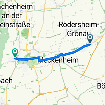
 Friedhofstraße 20, Hochdorf-Assenheim nach Konrad-Adenauer-Straße 24, Böhl-Iggelheim
- Distance
- 5.9 km
- Ascent
- 26 m
- Descent
- 21 m
- Location
- Hochdorf-Assenheim, Rhineland-Palatinate, Germany
 Keltenstraße, Hochdorf-Assenheim nach Heumarktstraße, Deidesheim
- Distance
- 8.1 km
- Ascent
- 16 m
- Descent
- 6 m
- Location
- Hochdorf-Assenheim, Rhineland-Palatinate, Germany
 Rosenweg nach Annabergstraße
- Distance
- 16.9 km
- Ascent
- 124 m
- Descent
- 57 m
- Location
- Hochdorf-Assenheim, Rhineland-Palatinate, Germany
Open it in the app