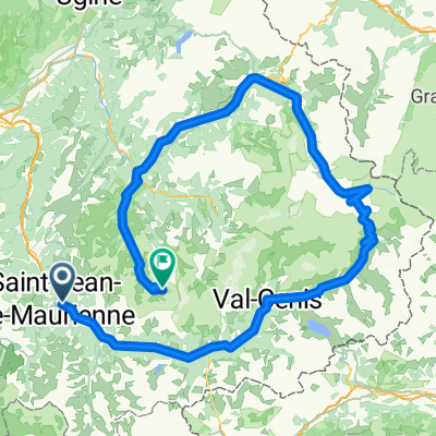
Saint-Jean-Maurienne - Val Thorens
- 193 km
- 4,153 m
- 2,362 m
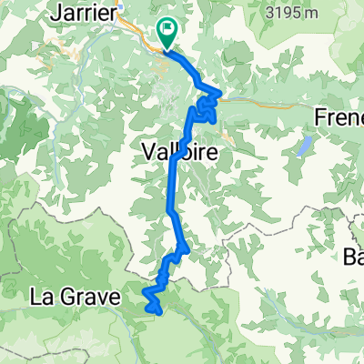
- Villargondran, Auvergne-Rhône-Alpes, France
A cycling route starting in Villargondran, Auvergne-Rhône-Alpes, France.
Overview
An alternate route to Galibier from the Maurienne Valley - skips Télégraphe and takes Col d'Albanne instead. Note, to get from Albanne to Valloire takes a fairly crazy rocky cliff path. So while almost the entire route is paved, I used a hybrid.
created this 10 years ago
Route highlights
Col d'Albanne - 1652 metres
Unpaved rocky cliff trail linking Albanne and Valloire
Col du Galibier
Col du Télégraphe
Continue with Bikemap
You would like to ride Col du Galibier via Albanne or customize it for your own trip? Here is what you can do with this Bikemap route:
Free trial for 3 days, or one-time payment. More about Bikemap Premium.
Discover more Premium features.
Get Bikemap PremiumFrom our community
Open it in the app