
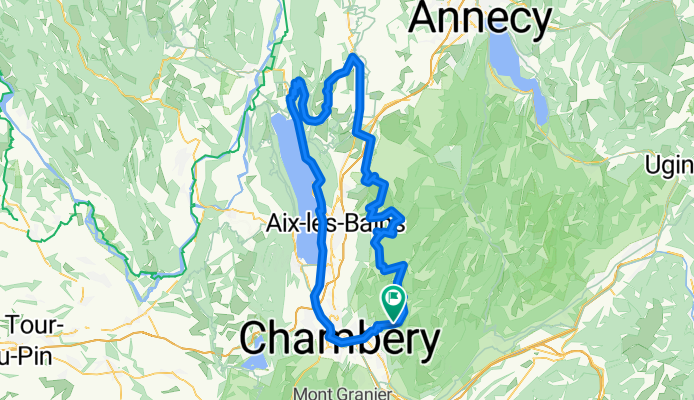
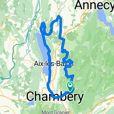
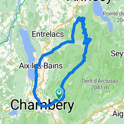
col du Sapenay, Mont Revard
A cycling route starting in Barby, Auvergne-Rhône-Alpes, France.
Overview
About this route
- -:--
- Duration
- 120.6 km
- Distance
- 2,162 m
- Ascent
- 1,761 m
- Descent
- ---
- Avg. speed
- 1,005 m
- Max. altitude
Route quality
Waytypes & surfaces along the route
Waytypes
Road
27.7 km
(23 %)
Quiet road
14.5 km
(12 %)
Surfaces
Paved
66.3 km
(55 %)
Unpaved
1.2 km
(1 %)
Asphalt
66.3 km
(55 %)
Gravel
1.2 km
(1 %)
Undefined
53.1 km
(44 %)
Continue with Bikemap
Use, edit, or download this cycling route
You would like to ride col du Sapenay, Mont Revard or customize it for your own trip? Here is what you can do with this Bikemap route:
Free features
- Save this route as favorite or in collections
- Copy & plan your own version of this route
- Split it into stages to create a multi-day tour
- Sync your route with Garmin or Wahoo
Premium features
Free trial for 3 days, or one-time payment. More about Bikemap Premium.
- Navigate this route on iOS & Android
- Export a GPX / KML file of this route
- Create your custom printout (try it for free)
- Download this route for offline navigation
Discover more Premium features.
Get Bikemap PremiumFrom our community
Other popular routes starting in Barby
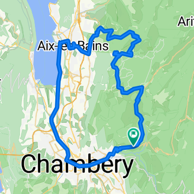
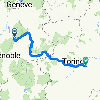 4-Chambery-Rome
- Distance
- 317.2 km
- Ascent
- 3,461 m
- Descent
- 3,945 m
- Location
- Barby, Auvergne-Rhône-Alpes, France
 Prés - Marocaz - Granier(par Chapareillan)
- Distance
- 85 km
- Ascent
- 2,121 m
- Descent
- 2,121 m
- Location
- Barby, Auvergne-Rhône-Alpes, France
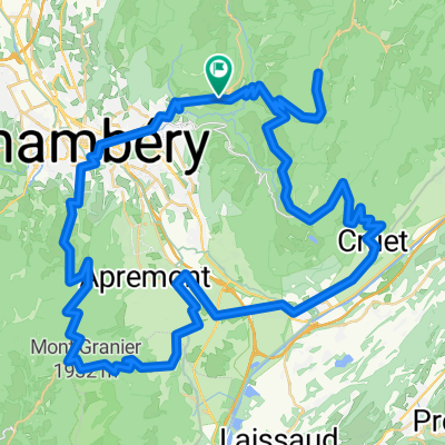
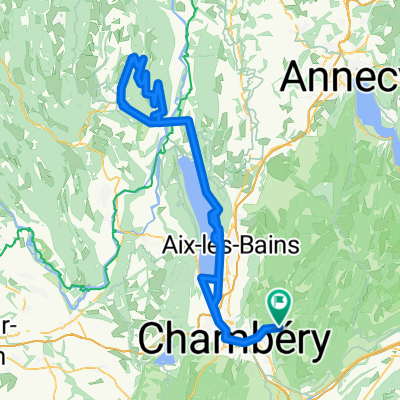
 Tour des Bauges
- Distance
- 121 km
- Ascent
- 2,577 m
- Descent
- 2,577 m
- Location
- Barby, Auvergne-Rhône-Alpes, France
 col du Sapenay, Mont Revard
- Distance
- 120.6 km
- Ascent
- 2,162 m
- Descent
- 1,761 m
- Location
- Barby, Auvergne-Rhône-Alpes, France
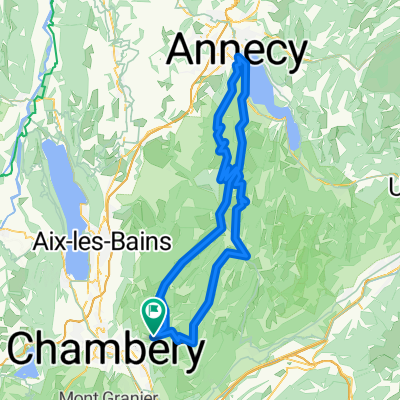
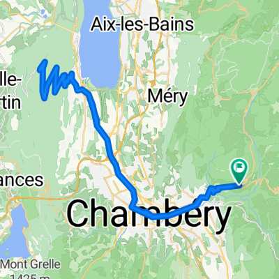
 tour du Mont Revard
- Distance
- 67.7 km
- Ascent
- 1,304 m
- Descent
- 1,306 m
- Location
- Barby, Auvergne-Rhône-Alpes, France
 Relais du Mont du Chat
- Distance
- 66.6 km
- Ascent
- 1,538 m
- Descent
- 1,705 m
- Location
- Barby, Auvergne-Rhône-Alpes, France
 col du Grand Colombier (via Culoz)
- Distance
- 150.8 km
- Ascent
- 1,829 m
- Descent
- 1,829 m
- Location
- Barby, Auvergne-Rhône-Alpes, France
 tour du Semnoz
- Distance
- 108.3 km
- Ascent
- 2,000 m
- Descent
- 1,998 m
- Location
- Barby, Auvergne-Rhône-Alpes, France
Open it in the app