

Von Meersburg ins Pfrungener Ried
A cycling route starting in Daisendorf, Baden-Wurttemberg, Germany.
Overview
About this route
From Meersburg, we bike towards the Deggenhausen Valley. Passing through Eckbeck, we go past Lake Ilmensee in the direction of Pfrungener Ried. At Königseggwald, the northernmost point of the route is reached. Now we mainly descend slightly to the foot of Höchsten. In Haslachmühle, the ascent to Oberhomburg begins, the highest point of the loop (771m). In a steep descent down to Deggenhausertal, and back to Meersburg by a similar way.
According to Garmin, it was 867Hm. Track date: 06.09.2009
- -:--
- Duration
- 99.5 km
- Distance
- 667 m
- Ascent
- 667 m
- Descent
- ---
- Avg. speed
- ---
- Max. altitude
Route highlights
Points of interest along the route
Point of interest after 52.6 km
Ca. 500m sind hier nicht asphaltiert, aber noch mit dem Rennrad gut zu fahren!
Continue with Bikemap
Use, edit, or download this cycling route
You would like to ride Von Meersburg ins Pfrungener Ried or customize it for your own trip? Here is what you can do with this Bikemap route:
Free features
- Save this route as favorite or in collections
- Copy & plan your own version of this route
- Split it into stages to create a multi-day tour
- Sync your route with Garmin or Wahoo
Premium features
Free trial for 3 days, or one-time payment. More about Bikemap Premium.
- Navigate this route on iOS & Android
- Export a GPX / KML file of this route
- Create your custom printout (try it for free)
- Download this route for offline navigation
Discover more Premium features.
Get Bikemap PremiumFrom our community
Other popular routes starting in Daisendorf
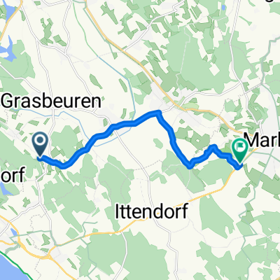 Daisendorf - Markdorf
- Distance
- 8.5 km
- Ascent
- 37 m
- Descent
- 79 m
- Location
- Daisendorf, Baden-Wurttemberg, Germany
 Nest - Fähre Meersburg
- Distance
- 4.8 km
- Ascent
- 42 m
- Descent
- 151 m
- Location
- Daisendorf, Baden-Wurttemberg, Germany
 Bergstraße nach Augustin-Bea-Straße
- Distance
- 25.8 km
- Ascent
- 144 m
- Descent
- 121 m
- Location
- Daisendorf, Baden-Wurttemberg, Germany
 2012-07-14_FN_Nostalgie
- Distance
- 75.7 km
- Ascent
- 597 m
- Descent
- 597 m
- Location
- Daisendorf, Baden-Wurttemberg, Germany
 Owingen-Bonndorf-Nesselwangen
- Distance
- 58.8 km
- Ascent
- 317 m
- Descent
- 315 m
- Location
- Daisendorf, Baden-Wurttemberg, Germany
 10.06.09 Unteruhldingen-Überlingen, kl. Rundfahrt
- Distance
- 28.2 km
- Ascent
- 142 m
- Descent
- 143 m
- Location
- Daisendorf, Baden-Wurttemberg, Germany
 Obere Roggenlehen 4A nach Salemer Straße
- Distance
- 12.2 km
- Ascent
- 196 m
- Descent
- 187 m
- Location
- Daisendorf, Baden-Wurttemberg, Germany
 10.06.09 Unteruhldingen-Überlingen, kl. Rundfahrt
- Distance
- 28.2 km
- Ascent
- 141 m
- Descent
- 145 m
- Location
- Daisendorf, Baden-Wurttemberg, Germany
Open it in the app