Thüringer Wald II
- 92.2 km
- 970 m
- 970 m
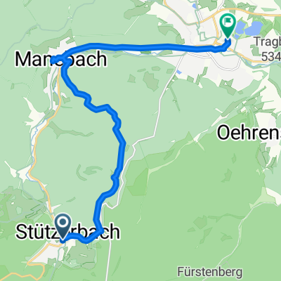
- Stützerbach, Thuringia, Germany
Very good to ride from the Meyersgrund campsite.
Free trial for 3 days, or one-time payment. More about Bikemap Premium.
Discover more Premium features.
Get Bikemap PremiumOpen it in the app