

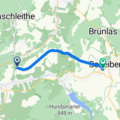
Raschau - Fichtelberg - Keilberg - Raschau
A cycling route starting in Raschau, Saxony, Germany.
Overview
About this route
Raschau - Fichtelberg - Keilberg - Raschau
- -:--
- Duration
- 125.6 km
- Distance
- 2,156 m
- Ascent
- 2,149 m
- Descent
- ---
- Avg. speed
- ---
- Max. altitude

Route quality
Waytypes & surfaces along the route
Waytypes
Road
36.4 km
(29 %)
Quiet road
5 km
(4 %)
Surfaces
Paved
94.2 km
(75 %)
Unpaved
3.8 km
(3 %)
Asphalt
93 km
(74 %)
Ground
2.5 km
(2 %)
Continue with Bikemap
Use, edit, or download this cycling route
You would like to ride Raschau - Fichtelberg - Keilberg - Raschau or customize it for your own trip? Here is what you can do with this Bikemap route:
Free features
- Save this route as favorite or in collections
- Copy & plan your own version of this route
- Split it into stages to create a multi-day tour
- Sync your route with Garmin or Wahoo
Premium features
Free trial for 3 days, or one-time payment. More about Bikemap Premium.
- Navigate this route on iOS & Android
- Export a GPX / KML file of this route
- Create your custom printout (try it for free)
- Download this route for offline navigation
Discover more Premium features.
Get Bikemap PremiumFrom our community
Other popular routes starting in Raschau
 Raschau-Fichtelberg
- Distance
- 19.5 km
- Ascent
- 763 m
- Descent
- 33 m
- Location
- Raschau, Saxony, Germany
 Raschau-Geyerischer TEICH
- Distance
- 27.5 km
- Ascent
- 433 m
- Descent
- 282 m
- Location
- Raschau, Saxony, Germany
 Beethovenstraße 24, Raschau-Markersbach nach Beethovenstraße 22A, Raschau-Markersbach
- Distance
- 17.3 km
- Ascent
- 371 m
- Descent
- 453 m
- Location
- Raschau, Saxony, Germany
 Raschau - Fichtelberg - Keilberg - Raschau
- Distance
- 125.6 km
- Ascent
- 2,156 m
- Descent
- 2,149 m
- Location
- Raschau, Saxony, Germany
 500. Tellerhäuser und Scheibenberg
- Distance
- 78.1 km
- Ascent
- 1,216 m
- Descent
- 1,216 m
- Location
- Raschau, Saxony, Germany
 Berganstieg Raschau - Fichtelberg
- Distance
- 24 km
- Ascent
- 718 m
- Descent
- 136 m
- Location
- Raschau, Saxony, Germany
 Königsetappe 3_ Raschau_Markersbach_Crottendorf_Neudorf_Hammerunterwiesenthal_Bärenstein_Vejprty_Stausee_Kotlina_Medenec_Horni Halze_Perstejn_Srni_Meluzina (109
- Distance
- 76.5 km
- Ascent
- 1,669 m
- Descent
- 888 m
- Location
- Raschau, Saxony, Germany
 Emmlerweg
- Distance
- 5.8 km
- Ascent
- 185 m
- Descent
- 38 m
- Location
- Raschau, Saxony, Germany
Open it in the app