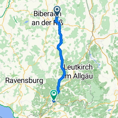
Zwischen Heggbacher Wald und langem Ghau
A cycling route starting in Maselheim, Baden-Wurttemberg, Germany.
Overview
About this route
From Schönebürg, you ride through the Heggbach Forest, along the Dürnach and the Reinstetter Holz, passing Ringschnait to Ochsenhausen. From there, continue through the Fürstenwald to Steinhausen. Through the Tafelghau and the long Ghau, you reach Rot, passing the Kohlwald and Wildbuch, through Gutenzell to Hürbel, and along the Hürbler Forest, you return to the starting point.
- -:--
- Duration
- 60.9 km
- Distance
- 397 m
- Ascent
- 400 m
- Descent
- ---
- Avg. speed
- ---
- Max. altitude
Route quality
Waytypes & surfaces along the route
Waytypes
Quiet road
26.8 km
(44 %)
Road
11 km
(18 %)
Surfaces
Paved
42 km
(69 %)
Unpaved
6.1 km
(10 %)
Asphalt
41.4 km
(68 %)
Loose gravel
3.7 km
(6 %)
Continue with Bikemap
Use, edit, or download this cycling route
You would like to ride Zwischen Heggbacher Wald und langem Ghau or customize it for your own trip? Here is what you can do with this Bikemap route:
Free features
- Save this route as favorite or in collections
- Copy & plan your own version of this route
- Sync your route with Garmin or Wahoo
Premium features
Free trial for 3 days, or one-time payment. More about Bikemap Premium.
- Navigate this route on iOS & Android
- Export a GPX / KML file of this route
- Create your custom printout (try it for free)
- Download this route for offline navigation
Discover more Premium features.
Get Bikemap PremiumFrom our community
Other popular routes starting in Maselheim
 Zwischen Heggbacher Wald und langem Ghau
- Distance
- 60.9 km
- Ascent
- 397 m
- Descent
- 400 m
- Location
- Maselheim, Baden-Wurttemberg, Germany
 Test
Test- Distance
- 22.3 km
- Ascent
- 137 m
- Descent
- 138 m
- Location
- Maselheim, Baden-Wurttemberg, Germany
 Am Grüble 8, Maselheim to Kreuzkellerweg 21, Wangen im Allgäu
- Distance
- 57.5 km
- Ascent
- 747 m
- Descent
- 788 m
- Location
- Maselheim, Baden-Wurttemberg, Germany
 Äpfingen - Wimberg
- Distance
- 129.1 km
- Ascent
- 791 m
- Descent
- 821 m
- Location
- Maselheim, Baden-Wurttemberg, Germany
 Biberach-Achstetten-Ost
- Distance
- 29.5 km
- Ascent
- 181 m
- Descent
- 237 m
- Location
- Maselheim, Baden-Wurttemberg, Germany
 Rundkurs Schemmerhofen Attenweiler Bad Buchau Stafflangen Warthausen Äpfingen Schemmerhofen
- Distance
- 49 km
- Ascent
- 308 m
- Descent
- 308 m
- Location
- Maselheim, Baden-Wurttemberg, Germany
 Sandgrubenweg 12, Maselheim nach Sandgrubenweg 10, Maselheim
- Distance
- 26.3 km
- Ascent
- 240 m
- Descent
- 251 m
- Location
- Maselheim, Baden-Wurttemberg, Germany
 Äpfingen - Bad Buchau
- Distance
- 55.3 km
- Ascent
- 242 m
- Descent
- 237 m
- Location
- Maselheim, Baden-Wurttemberg, Germany
Open it in the app


