Montagna pistoiese - Medio
- 163 km
- 2,337 m
- 2,341 m
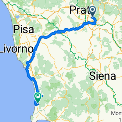
- Sesto Fiorentino, Tuscany, Italy
A cycling route starting in Sesto Fiorentino, Tuscany, Italy.
Overview
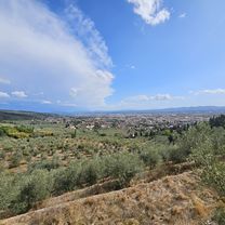
Sesto - Pistoia - Piastre - San Marcello - La Lima - Abetone Pass (via Piansinatico) - Pievepelago - Radici Pass - San Pellegrino in Alpe - Castelnuovo Garfagnana - Bagni di Lucca - Collodi (via Boveglio) - Montecatini - Pistoia - Sesto.
created this 10 years ago
Route quality
Road
63.4 km
(27 %)
Quiet road
61.1 km
(26 %)
Paved
133.8 km
(57 %)
Unpaved
4.7 km
(2 %)
Asphalt
133.8 km
(57 %)
Gravel
2.3 km
(1 %)
Continue with Bikemap
You would like to ride Montagna pistoiese - Lungo or customize it for your own trip? Here is what you can do with this Bikemap route:
Free trial for 3 days, or one-time payment. More about Bikemap Premium.
Discover more Premium features.
Get Bikemap PremiumFrom our community
Open it in the app