

Ditchling Devil amended
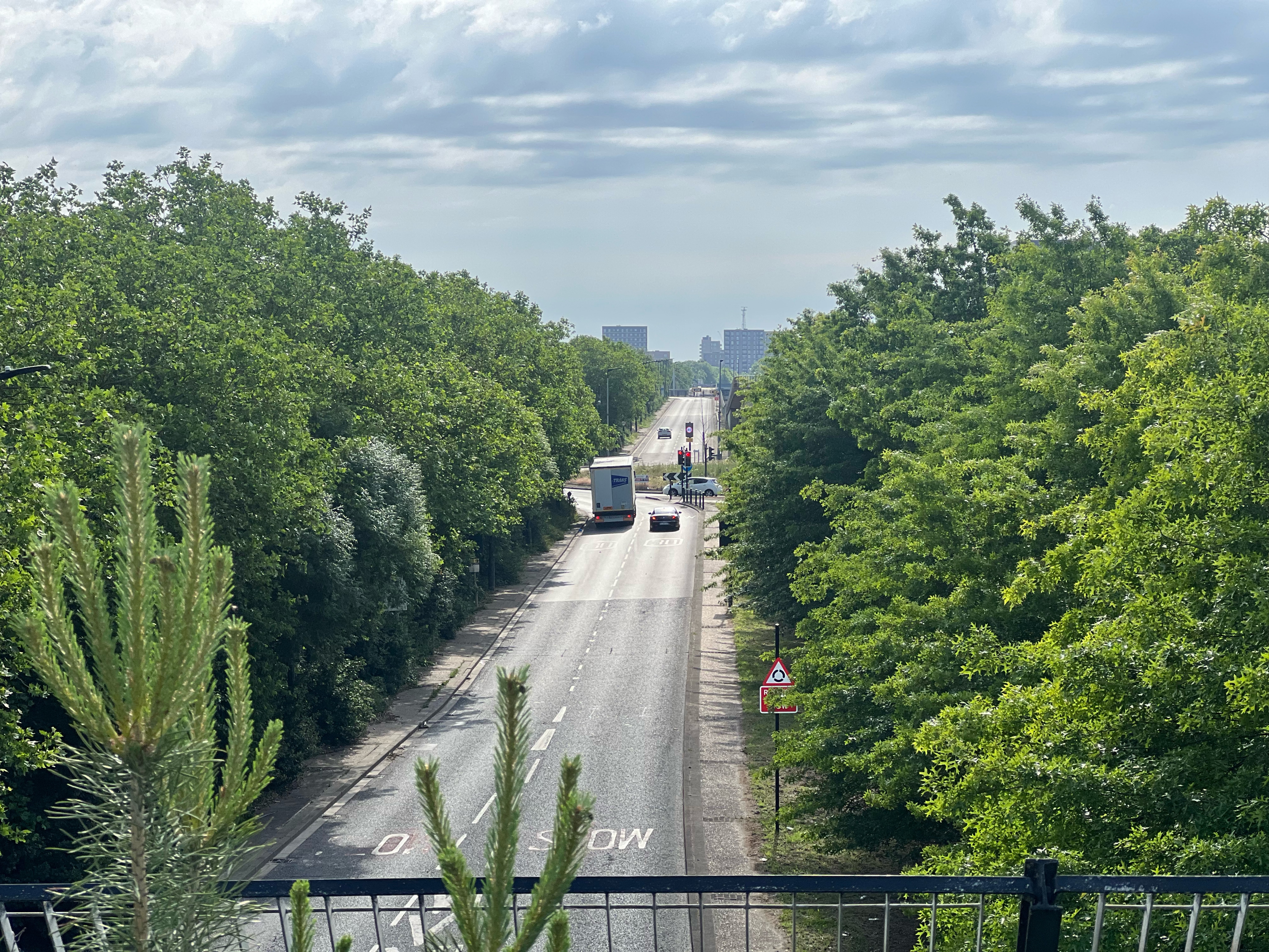
A cycling route starting in Woolwich, England, United Kingdom.
Overview
About this route
be at 1st checkpoint between 9.30 and 11am
Elevenses stop at Highbrook Village hall nr Ardingly (50km) lunch at Upper Beeding Village Hall near Steyning (105km). Chiddingfold (146km) for some afternoon tea and cake Roehampton Gate Café in Richmond Park (205km).- -:--
- Duration
- 228.8 km
- Distance
- 850 m
- Ascent
- 844 m
- Descent
- ---
- Avg. speed
- ---
- Max. altitude

Route quality
Waytypes & surfaces along the route
Waytypes
Quiet road
60.8 km
(27 %)
Cycleway
55.1 km
(24 %)
Surfaces
Paved
148.9 km
(65 %)
Unpaved
12.2 km
(5 %)
Asphalt
131.5 km
(58 %)
Paved (undefined)
8.5 km
(4 %)
Route highlights
Points of interest along the route
Point of interest after 72.6 km
Elevenses stop at Highbrook Village hall nr Ardingly arrival 9.30 - 11
Point of interest after 124.6 km
Beeding Village Hall near Steyning Lunch arrival between 12 - 15
Point of interest after 167.7 km
afternoon tea arrival 13 - 18
Continue with Bikemap
Use, edit, or download this cycling route
You would like to ride Ditchling Devil amended or customize it for your own trip? Here is what you can do with this Bikemap route:
Free features
- Save this route as favorite or in collections
- Copy & plan your own version of this route
- Split it into stages to create a multi-day tour
- Sync your route with Garmin or Wahoo
Premium features
Free trial for 3 days, or one-time payment. More about Bikemap Premium.
- Navigate this route on iOS & Android
- Export a GPX / KML file of this route
- Create your custom printout (try it for free)
- Download this route for offline navigation
Discover more Premium features.
Get Bikemap PremiumFrom our community
Other popular routes starting in Woolwich
 Route9
- Distance
- 276.5 km
- Ascent
- 0 m
- Descent
- 0 m
- Location
- Woolwich, England, United Kingdom
 Peto Apartments, 5 Wallis Walk, London to 91–95 Paul St, London
- Distance
- 16.2 km
- Ascent
- 3 m
- Descent
- 7 m
- Location
- Woolwich, England, United Kingdom
 Ditchling Devil amended
- Distance
- 228.8 km
- Ascent
- 850 m
- Descent
- 844 m
- Location
- Woolwich, England, United Kingdom
 North Woolwich Road, London to Boxley Street, London
- Distance
- 10.1 km
- Ascent
- 20 m
- Descent
- 19 m
- Location
- Woolwich, England, United Kingdom
 Woolwich - Erith, Circular
- Distance
- 18.1 km
- Ascent
- 17 m
- Descent
- 18 m
- Location
- Woolwich, England, United Kingdom
 Canary Wharf from Home
- Distance
- 8.3 km
- Ascent
- 46 m
- Descent
- 48 m
- Location
- Woolwich, England, United Kingdom
 Greenwich
- Distance
- 37.4 km
- Ascent
- 24 m
- Descent
- 26 m
- Location
- Woolwich, England, United Kingdom
 Woolwich to Vauxhall
- Distance
- 18.7 km
- Ascent
- 67 m
- Descent
- 80 m
- Location
- Woolwich, England, United Kingdom
Open it in the app