TA OSH Würmtalradweg, Leutstetten, Starnberg
- 46.2 km
- 304 m
- 194 m
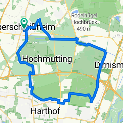
- Oberschleißheim, Bavaria, Germany
A cycling route starting in Oberschleißheim, Bavaria, Germany.
Overview
created this 17 years ago
Route quality
Quiet road
40.7 km
(43 %)
Path
13.2 km
(14 %)
Paved
75.7 km
(80 %)
Unpaved
5.7 km
(6 %)
Asphalt
75.7 km
(80 %)
Gravel
3.8 km
(4 %)
Route highlights
Start
Continue with Bikemap
You would like to ride Langengern or customize it for your own trip? Here is what you can do with this Bikemap route:
Free trial for 3 days, or one-time payment. More about Bikemap Premium.
Discover more Premium features.
Get Bikemap PremiumFrom our community
Open it in the app