07/06/2015 - Ballade Téteghem --- Koksijde --- Veurne --- De Moeren --- Téteghem
A cycling route starting in Téteghem, Hauts-de-France, France.
Overview
About this route
Téteghem Departure from Home
Follow Circuit Cobergher to La Panne
Join Point Cyclo No. 1
Head towards the town center then direction Koksijde (Point Cyclo No. 65) -- Lunch break on the beach!!
Direction Point Cyclo No. 5 (via Zeelaan then Kerkstraat)
Direction Point Cyclo No. 68
Direction Point Cyclo No. 04
Direction Point Cyclo No. 03
Direction Point Cyclo No. 10
Follow Cromfortstraar - Noordmoerstraat to reach De Moeren
Then straight ahead to the water tower of Uxem
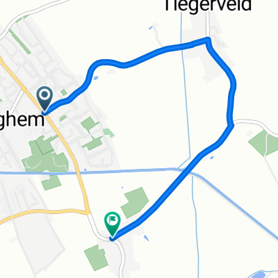
Direction Téteghem via the Tlégerveld
- -:--
- Duration
- 52.2 km
- Distance
- 13 m
- Ascent
- 11 m
- Descent
- ---
- Avg. speed
- ---
- Max. altitude
Route quality
Waytypes & surfaces along the route
Waytypes
Quiet road
32.4 km
(62 %)
Road
8.9 km
(17 %)
Surfaces
Paved
34.5 km
(66 %)
Asphalt
31.3 km
(60 %)
Concrete
2.1 km
(4 %)
Route highlights
Points of interest along the route
Point of interest after 52.2 km
Maison
Continue with Bikemap
Use, edit, or download this cycling route
You would like to ride 07/06/2015 - Ballade Téteghem --- Koksijde --- Veurne --- De Moeren --- Téteghem or customize it for your own trip? Here is what you can do with this Bikemap route:
Free features
- Save this route as favorite or in collections
- Copy & plan your own version of this route
- Sync your route with Garmin or Wahoo
Premium features
Free trial for 3 days, or one-time payment. More about Bikemap Premium.
- Navigate this route on iOS & Android
- Export a GPX / KML file of this route
- Create your custom printout (try it for free)
- Download this route for offline navigation
Discover more Premium features.
Get Bikemap PremiumFrom our community
Other popular routes starting in Téteghem
- 07/06/2015 - Ballade Téteghem --- Koksijde --- Veurne --- De Moeren --- Téteghem
- Distance
- 52.2 km
- Ascent
- 13 m
- Descent
- 11 m
- Location
- Téteghem, Hauts-de-France, France
- BH 102
- Distance
- 102.9 km
- Ascent
- 347 m
- Descent
- 347 m
- Location
- Téteghem, Hauts-de-France, France
- Ete 2015 - Etape 1 Téteghem - Nieuwpoort
- Distance
- 39.7 km
- Ascent
- 37 m
- Descent
- 37 m
- Location
- Téteghem, Hauts-de-France, France
- BH 70
- Distance
- 69.8 km
- Ascent
- 140 m
- Descent
- 140 m
- Location
- Téteghem, Hauts-de-France, France
- La grande Yser
- Distance
- 117.4 km
- Ascent
- 19 m
- Descent
- 20 m
- Location
- Téteghem, Hauts-de-France, France
- BH 30
- Distance
- 29.6 km
- Ascent
- 4 m
- Descent
- 4 m
- Location
- Téteghem, Hauts-de-France, France
- BH Cap à l'ouest 75 km
- Distance
- 75.1 km
- Ascent
- 115 m
- Descent
- 115 m
- Location
- Téteghem, Hauts-de-France, France
- BH Cap à l'ouest 95 km
- Distance
- 95.2 km
- Ascent
- 263 m
- Descent
- 263 m
- Location
- Téteghem, Hauts-de-France, France
Open it in the app