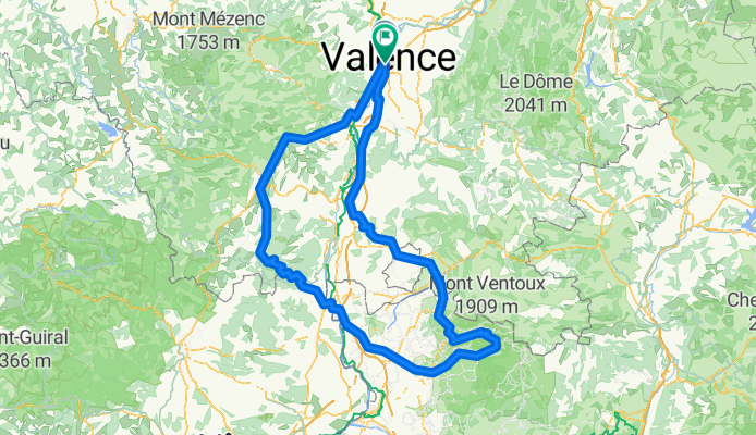

2019 - 5a
- 106.7 km
- 486 m
- 376 m
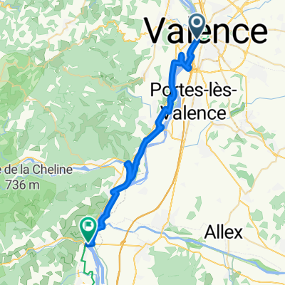
- Guilherand-Granges, Auvergne-Rhône-Alpes, France
A cycling route starting in Guilherand-Granges, Auvergne-Rhône-Alpes, France.
Overview
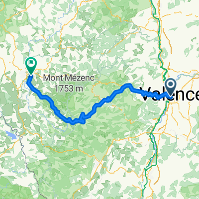
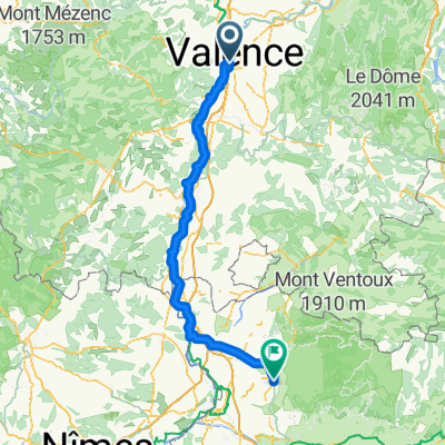
Depart Valence, Ardèche gorges, Mont Ventoux, Valence!
Route quality
Quiet road
132.4 km
(36 %)
Road
66.2 km
(18 %)
Paved
209.7 km
(57 %)
Unpaved
3.7 km
(1 %)
Asphalt
209.7 km
(57 %)
Unpaved (undefined)
3.7 km
(1 %)
Undefined
154.5 km
(42 %)
Continue with Bikemap
You would like to ride Ardeche/Vaucluse or customize it for your own trip? Here is what you can do with this Bikemap route:
Free trial for 3 days, or one-time payment. More about Bikemap Premium.
Discover more Premium features.
Get Bikemap PremiumFrom our community
Open it in the app