
GR57_Tilf
A cycling route starting in Chaudfontaine, Wallonia, Belgium.
Overview
About this route
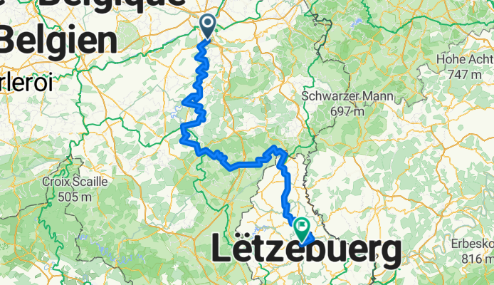
GR57 Vallee de l'Ourthe et Sentier du Nord
- -:--
- Duration
- 256.3 km
- Distance
- 1,921 m
- Ascent
- 1,816 m
- Descent
- ---
- Avg. speed
- ---
- Max. altitude

Continue with Bikemap
Use, edit, or download this cycling route
You would like to ride GR57_Tilf or customize it for your own trip? Here is what you can do with this Bikemap route:
Free features
- Save this route as favorite or in collections
- Copy & plan your own version of this route
- Split it into stages to create a multi-day tour
- Sync your route with Garmin or Wahoo
Premium features
Free trial for 3 days, or one-time payment. More about Bikemap Premium.
- Navigate this route on iOS & Android
- Export a GPX / KML file of this route
- Create your custom printout (try it for free)
- Download this route for offline navigation
Discover more Premium features.
Get Bikemap PremiumFrom our community
Other popular routes starting in Chaudfontaine
 Circuit des "Coteaux de Chaudfontaine"
- Distance
- 17.1 km
- Ascent
- 0 m
- Descent
- 0 m
- Location
- Chaudfontaine, Wallonia, Belgium
 Tilff - Esneux - Strivay - Boncelles
- Distance
- 30.6 km
- Ascent
- 488 m
- Descent
- 488 m
- Location
- Chaudfontaine, Wallonia, Belgium
 Beaufays - Sart Tilman
- Distance
- 9.7 km
- Ascent
- 210 m
- Descent
- 255 m
- Location
- Chaudfontaine, Wallonia, Belgium
 2008-04-26 - Gedeelte van LBL
- Distance
- 154.1 km
- Ascent
- 2,362 m
- Descent
- 2,226 m
- Location
- Chaudfontaine, Wallonia, Belgium
 LBL severni
- Distance
- 237.6 km
- Ascent
- 2,320 m
- Descent
- 2,207 m
- Location
- Chaudfontaine, Wallonia, Belgium
 GR57_Tilf
- Distance
- 256.3 km
- Ascent
- 1,921 m
- Descent
- 1,816 m
- Location
- Chaudfontaine, Wallonia, Belgium
 Embourg via Seraing naar Mechelen
- Distance
- 125.9 km
- Ascent
- 473 m
- Descent
- 640 m
- Location
- Chaudfontaine, Wallonia, Belgium
 Tilff - Aywaille - Werbomont - Aywaille - Chaudfontaine
- Distance
- 127.5 km
- Ascent
- 1,703 m
- Descent
- 1,703 m
- Location
- Chaudfontaine, Wallonia, Belgium
Open it in the app