

富士山 伊豆 熱海 伊東2
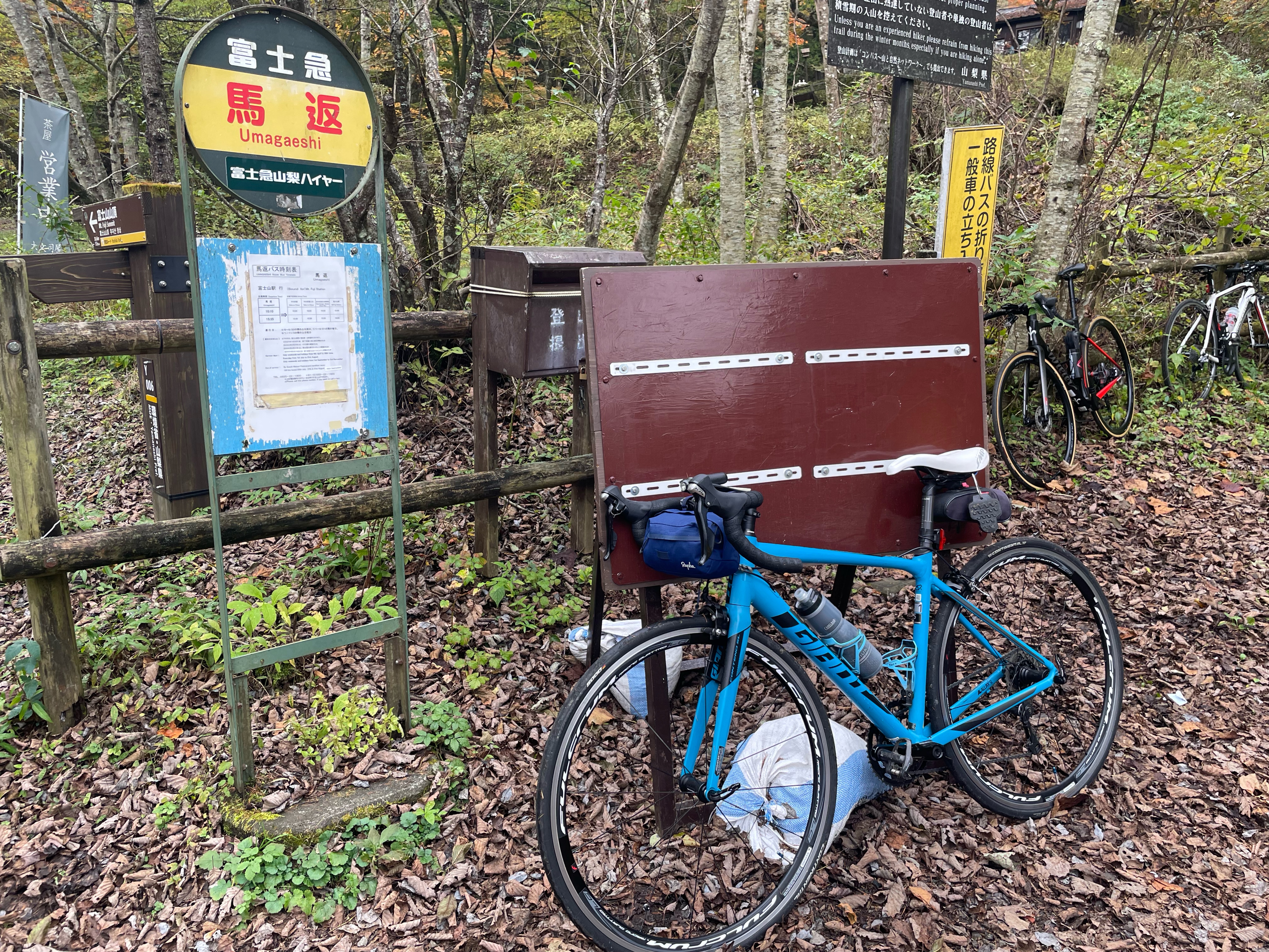
A cycling route starting in Fujikawaguchiko, Yamanashi, Japan.
Overview
About this route
富士山 伊豆 熱海 伊東2
- -:--
- Duration
- 119.2 km
- Distance
- 816 m
- Ascent
- 1,653 m
- Descent
- ---
- Avg. speed
- ---
- Max. altitude

Continue with Bikemap
Use, edit, or download this cycling route
You would like to ride 富士山 伊豆 熱海 伊東2 or customize it for your own trip? Here is what you can do with this Bikemap route:
Free features
- Save this route as favorite or in collections
- Copy & plan your own version of this route
- Split it into stages to create a multi-day tour
- Sync your route with Garmin or Wahoo
Premium features
Free trial for 3 days, or one-time payment. More about Bikemap Premium.
- Navigate this route on iOS & Android
- Export a GPX / KML file of this route
- Create your custom printout (try it for free)
- Download this route for offline navigation
Discover more Premium features.
Get Bikemap PremiumFrom our community
Other popular routes starting in Fujikawaguchiko
 20241027_奥富士ロングライド
- Distance
- 55 km
- Ascent
- 1,784 m
- Descent
- 1,785 m
- Location
- Fujikawaguchiko, Yamanashi, Japan
 2011-08-11環富士四湖
- Distance
- 64.5 km
- Ascent
- 490 m
- Descent
- 493 m
- Location
- Fujikawaguchiko, Yamanashi, Japan
 🇯🇵 JPN D12b - YOKOHAMA
- Distance
- 210.2 km
- Ascent
- 489 m
- Descent
- 1,330 m
- Location
- Fujikawaguchiko, Yamanashi, Japan
 2010/10/23/富士山
- Distance
- 24.2 km
- Ascent
- 1,292 m
- Descent
- 35 m
- Location
- Fujikawaguchiko, Yamanashi, Japan
 kawaguchi and fujikyu
- Distance
- 26 km
- Ascent
- 389 m
- Descent
- 391 m
- Location
- Fujikawaguchiko, Yamanashi, Japan
 3624, 船津, 富士河口湖町 nach 鳴沢, 鳴沢村
- Distance
- 9.8 km
- Ascent
- 162 m
- Descent
- 30 m
- Location
- Fujikawaguchiko, Yamanashi, Japan
 富士山 伊豆 熱海 伊東
- Distance
- 100.7 km
- Ascent
- 856 m
- Descent
- 1,696 m
- Location
- Fujikawaguchiko, Yamanashi, Japan
 5 Lakes of Fuji mike
- Distance
- 131.3 km
- Ascent
- 649 m
- Descent
- 1,387 m
- Location
- Fujikawaguchiko, Yamanashi, Japan
Open it in the app