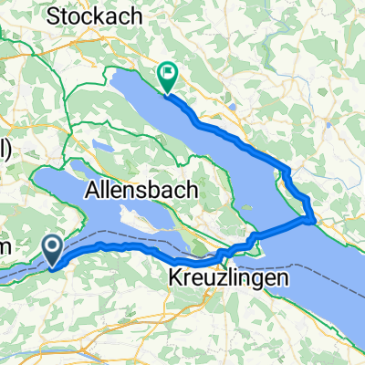
Glarisegg Eichhölzli
A cycling route starting in Steckborn, Thurgau, Switzerland.
Overview
About this route
für Spaziergang geeignet oder Mountainbike
- -:--
- Duration
- 5.9 km
- Distance
- 161 m
- Ascent
- 161 m
- Descent
- ---
- Avg. speed
- ---
- Avg. speed
Continue with Bikemap
Use, edit, or download this cycling route
You would like to ride Glarisegg Eichhölzli or customize it for your own trip? Here is what you can do with this Bikemap route:
Free features
- Save this route as favorite or in collections
- Copy & plan your own version of this route
- Sync your route with Garmin or Wahoo
Premium features
Free trial for 3 days, or one-time payment. More about Bikemap Premium.
- Navigate this route on iOS & Android
- Export a GPX / KML file of this route
- Create your custom printout (try it for free)
- Download this route for offline navigation
Discover more Premium features.
Get Bikemap PremiumFrom our community
Other popular routes starting in Steckborn
- Bahnhofstrasse 18, Berlingen nach Obergass 19, Stein am Rhein
- Distance
- 15.5 km
- Ascent
- 174 m
- Descent
- 178 m
- Location
- Steckborn, Thurgau, Switzerland
- Steckborn Kreuzlingen Seerücken Mammern
- Distance
- 48.3 km
- Ascent
- 320 m
- Descent
- 329 m
- Location
- Steckborn, Thurgau, Switzerland
- 4. Tag Konstanz - Schaffhausen - ich vermute heut wird uns der Allerwerteste beschwerden bereiten
- Distance
- 36 km
- Ascent
- 290 m
- Descent
- 295 m
- Location
- Steckborn, Thurgau, Switzerland
- De Glariseggerweg 7, Steckborn à Seestrasse 179, Steckborn
- Distance
- 203.7 km
- Ascent
- 156 m
- Descent
- 158 m
- Location
- Steckborn, Thurgau, Switzerland
- 09_Besuch bei Napoleon in Arenenberg
- Distance
- 23.7 km
- Ascent
- 566 m
- Descent
- 566 m
- Location
- Steckborn, Thurgau, Switzerland
- biken mit olli und ralf
- Distance
- 21.3 km
- Ascent
- 437 m
- Descent
- 463 m
- Location
- Steckborn, Thurgau, Switzerland
- Steckborn-Weiningen-Stein
- Distance
- 43 km
- Ascent
- 513 m
- Descent
- 541 m
- Location
- Steckborn, Thurgau, Switzerland
- Hauptstrasse 13, Mammern to Badstrasse 25, Romanshorn
- Distance
- 41 km
- Ascent
- 478 m
- Descent
- 497 m
- Location
- Steckborn, Thurgau, Switzerland
Open it in the app