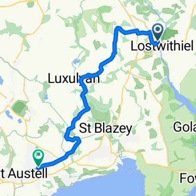
LEJOG Day2 Crown Inn Lanlivery to Half Moon House B&B Topsham
A cycling route starting in Lostwithiel, England, United Kingdom.
Overview
About this route
Enjoyable scenery but a toughish day with the climb to Minions, the road approaching Bridestowe, the climb out of Okehampton, around Sticklepath but by Whiddon the worst is over. I had hoped to pick up the Granite Cycleway to take me all the way into Okehampton but it had been closed because of a rock fall so I diverted onto the B3260.
(cloned from route 625043)
- -:--
- Duration
- 119.7 km
- Distance
- 805 m
- Ascent
- 941 m
- Descent
- ---
- Avg. speed
- ---
- Avg. speed
Continue with Bikemap
Use, edit, or download this cycling route
You would like to ride LEJOG Day2 Crown Inn Lanlivery to Half Moon House B&B Topsham or customize it for your own trip? Here is what you can do with this Bikemap route:
Free features
- Save this route as favorite or in collections
- Copy & plan your own version of this route
- Sync your route with Garmin or Wahoo
Premium features
Free trial for 3 days, or one-time payment. More about Bikemap Premium.
- Navigate this route on iOS & Android
- Export a GPX / KML file of this route
- Create your custom printout (try it for free)
- Download this route for offline navigation
Discover more Premium features.
Get Bikemap PremiumFrom our community
Other popular routes starting in Lostwithiel
- LEJOG Day2 Crown Inn Lanlivery to Half Moon House B&B Topsham
- Distance
- 119.7 km
- Ascent
- 820 m
- Descent
- 955 m
- Location
- Lostwithiel, England, United Kingdom
- 5 Grenville Meadows, Lostwithiel to 5 Grenville Meadows, Lostwithiel
- Distance
- 30.9 km
- Ascent
- 860 m
- Descent
- 858 m
- Location
- Lostwithiel, England, United Kingdom
- Bodmin to camelford
- Distance
- 35.8 km
- Ascent
- 448 m
- Descent
- 333 m
- Location
- Lostwithiel, England, United Kingdom
- Bodmin Pkwy, Cardinham, Bodmin to Alderley, Trenance, Newquay
- Distance
- 34 km
- Ascent
- 424 m
- Descent
- 396 m
- Location
- Lostwithiel, England, United Kingdom
- Bodmin Train Station 2 Huckleberries
- Distance
- 7.6 km
- Ascent
- 164 m
- Descent
- 102 m
- Location
- Lostwithiel, England, United Kingdom
- Lerryn to Tintagel via Padstow & Wadebridge
- Distance
- 83.4 km
- Ascent
- 1,131 m
- Descent
- 1,107 m
- Location
- Lostwithiel, England, United Kingdom
- 8LostwithielHarrowbridge
- Distance
- 27.6 km
- Ascent
- 410 m
- Descent
- 207 m
- Location
- Lostwithiel, England, United Kingdom
- Lostwithiel 5.5
- Distance
- 5.5 km
- Ascent
- 73 m
- Descent
- 76 m
- Location
- Lostwithiel, England, United Kingdom
Open it in the app