Leg9
- 129.9 km
- 755 m
- 709 m
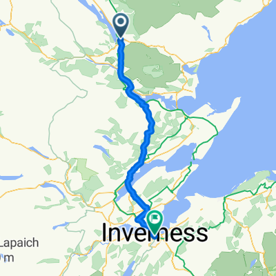
- Dornoch, Scotland, United Kingdom
A cycling route starting in Dornoch, Scotland, United Kingdom.
Overview
<span style="font-family: Arial,sans-serif;"><font size="3">Today was relatively easy and enjoyable, most of the climbing comes early into the ride and after the Crask Inn there's not much more climbing to be done. North of Lairg I met up with a cyclist on his way to the Orkneys and reaching the Crask Inn we stopped for a drink.</font></span>
<span style="font-family: Arial,sans-serif;"><font size="3">From the Crask Inn to Bettyhill I've had to hand draw my gpx track. Returning to our bikes I forgot that I'd paused my Garmin Edge and didn't turn record back on. I'd done this before during my training rides in the weeks before my LeJog and decided that I wouldn't pause my GPS if I stopped for a break. Today's average speed as calculated by my Edge 705 was meaningless, fortunately my Powertap had recorded the day's ride. </font></span>
<span style="font-family: Arial,sans-serif;"><font size="3">The scenery is lovely by Loch Naver and along Strath Naver though rather isolated so it was a surprise to come across a Caravan Club site by Loch Naver. I stopped several times to read several of the information boards describing the tragedy of the Highland Clearances.</font></span>
<span style="font-family: Arial,sans-serif;"><font size="3">Arriving in Bettyhill I can't believe it, only one more day then it's over.</font></span>
(cloned from route 628931)
created this 10 years ago
Route quality
Paved
40.8 km
(46 %)
Asphalt
40.8 km
46 %
Undefined
47.9 km
54 %
Continue with Bikemap
You would like to ride LEJOG Day16 Kyle House B&B Bonar Bridge to The Bettyhill Hotel or customize it for your own trip? Here is what you can do with this Bikemap route:
Free trial for 3 days, or one-time payment. More about Bikemap Premium.
Discover more Premium features.
Get Bikemap PremiumFrom our community
Open it in the app