R4K PC2012 dag 3 Groep A
- 125.7 km
- 2,408 m
- 2,409 m
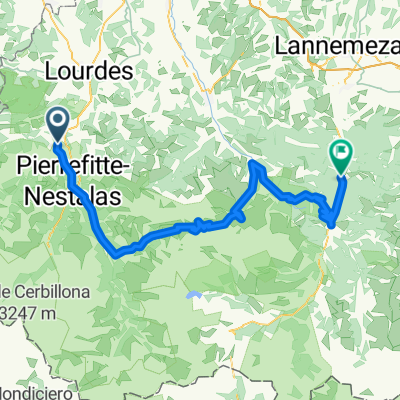
- Argelès-Gazost, Occitanie, France
A cycling route starting in Argelès-Gazost, Occitanie, France.
Overview
Argelès-Gazost - Aucun - Arrens - Soulor - Aubisque - Lanus - Aubisque - Soulor - Ferrières - Spandelles - Gez - Argelès-Gazost
created this 10 years ago
Route quality
Quiet road
24 km
(21 %)
Road
2.3 km
(2 %)
Undefined
88 km
(77 %)
Paved
109.8 km
(96 %)
Asphalt
109.8 km
(96 %)
Undefined
4.6 km
(4 %)
Route highlights
Aubisque
Soulor
Spandelles
Continue with Bikemap
You would like to ride Argeles-Gazost- Lanus or customize it for your own trip? Here is what you can do with this Bikemap route:
Free trial for 3 days, or one-time payment. More about Bikemap Premium.
Discover more Premium features.
Get Bikemap PremiumFrom our community
Open it in the app