
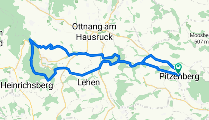
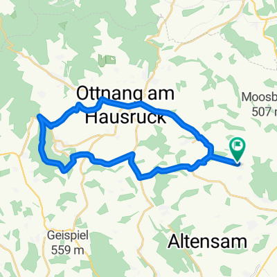
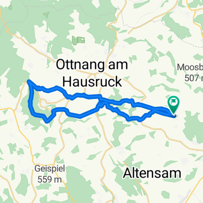
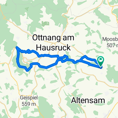
Pettenfirsthütte-Variante
A cycling route starting in Pitzenberg, Upper Austria, Austria.
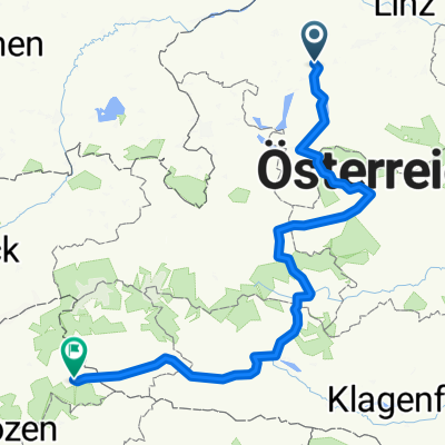
Overview
About this route
<p>10.06.2015 - Get to know your forests... :)</p>
Translated, show original (German)- -:--
- Duration
- 23.8 km
- Distance
- 464 m
- Ascent
- 464 m
- Descent
- ---
- Avg. speed
- ---
- Max. altitude
Continue with Bikemap
Use, edit, or download this cycling route
You would like to ride Pettenfirsthütte-Variante or customize it for your own trip? Here is what you can do with this Bikemap route:
Free features
- Save this route as favorite or in collections
- Copy & plan your own version of this route
- Sync your route with Garmin or Wahoo
Premium features
Free trial for 3 days, or one-time payment. More about Bikemap Premium.
- Navigate this route on iOS & Android
- Export a GPX / KML file of this route
- Create your custom printout (try it for free)
- Download this route for offline navigation
Discover more Premium features.
Get Bikemap PremiumFrom our community
Other popular routes starting in Pitzenberg
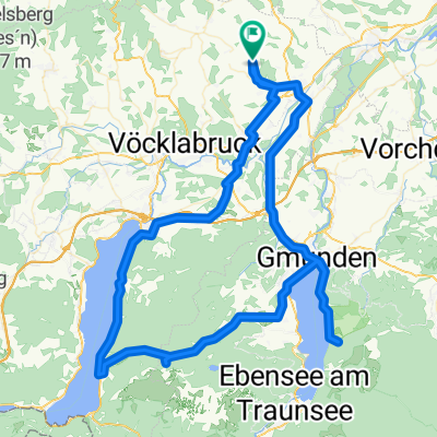
 ROM 01: Pitzenberg - Zell am See
- Distance
- 174.5 km
- Ascent
- 753 m
- Descent
- 430 m
- Location
- Pitzenberg, Upper Austria, Austria
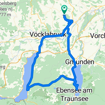
 Bike & Hike Traunstein & Hochlecken
- Distance
- 110.3 km
- Ascent
- 744 m
- Descent
- 743 m
- Location
- Pitzenberg, Upper Austria, Austria
 Bike & Hike Sonnstein + Großalmstraße
- Distance
- 100.2 km
- Ascent
- 756 m
- Descent
- 756 m
- Location
- Pitzenberg, Upper Austria, Austria
 Pitzenberg-Hohe Rast-Pettenfirsthütte-Pitzenberg
- Distance
- 23.7 km
- Ascent
- 447 m
- Descent
- 447 m
- Location
- Pitzenberg, Upper Austria, Austria
 Pitzenberg-Pettenfirsthütte-Hohe Rast-Pitzenberg
- Distance
- 23.2 km
- Ascent
- 451 m
- Descent
- 451 m
- Location
- Pitzenberg, Upper Austria, Austria
 Pitzenberg-Pettenfirsthütte
- Distance
- 11 km
- Ascent
- 388 m
- Descent
- 125 m
- Location
- Pitzenberg, Upper Austria, Austria
 Pettenfirsthütte-Variante
- Distance
- 23.8 km
- Ascent
- 464 m
- Descent
- 464 m
- Location
- Pitzenberg, Upper Austria, Austria
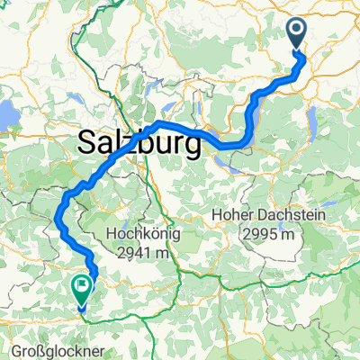
 Alternative Rom - Obertauern-Lienz
- Distance
- 371 km
- Ascent
- 2,987 m
- Descent
- 2,224 m
- Location
- Pitzenberg, Upper Austria, Austria
Open it in the app