

Alpes-4a
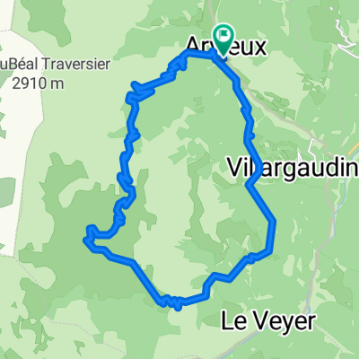
A cycling route starting in Guillestre, Provence-Alpes-Côte d'Azur Region, France.
Overview
About this route
aa q
(cloned from route 3078348)
- -:--
- Duration
- 137.2 km
- Distance
- 3,779 m
- Ascent
- 3,567 m
- Descent
- ---
- Avg. speed
- ---
- Max. altitude
Route quality
Waytypes & surfaces along the route
Waytypes
Road
23.3 km
(17 %)
Quiet road
1.4 km
(1 %)
Undefined
112.5 km
(82 %)
Surfaces
Paved
49.4 km
(36 %)
Asphalt
49.4 km
(36 %)
Undefined
87.8 km
(64 %)
Route highlights
Points of interest along the route
Point of interest after 42.7 km
Col Agnel
Point of interest after 82.4 km
Col d'Izoard
Point of interest after 118.4 km
Col du Granon
Continue with Bikemap
Use, edit, or download this cycling route
You would like to ride Alpes-4a or customize it for your own trip? Here is what you can do with this Bikemap route:
Free features
- Save this route as favorite or in collections
- Copy & plan your own version of this route
- Split it into stages to create a multi-day tour
- Sync your route with Garmin or Wahoo
Premium features
Free trial for 3 days, or one-time payment. More about Bikemap Premium.
- Navigate this route on iOS & Android
- Export a GPX / KML file of this route
- Create your custom printout (try it for free)
- Download this route for offline navigation
Discover more Premium features.
Get Bikemap PremiumFrom our community
Other popular routes starting in Guillestre
 CeillacMelezetCristillian
- Distance
- 52.9 km
- Ascent
- 1,456 m
- Descent
- 1,456 m
- Location
- Guillestre, Provence-Alpes-Côte d'Azur Region, France
 Tour de Furfande
- Distance
- 23 km
- Ascent
- 1,077 m
- Descent
- 1,077 m
- Location
- Guillestre, Provence-Alpes-Côte d'Azur Region, France
 N°15:LeLacduPréduLaus (DépartRisoulStation)
- Distance
- 9.2 km
- Ascent
- 261 m
- Descent
- 262 m
- Location
- Guillestre, Provence-Alpes-Côte d'Azur Region, France
 N°2:L'Aubreau
- Distance
- 25 km
- Ascent
- 879 m
- Descent
- 877 m
- Location
- Guillestre, Provence-Alpes-Côte d'Azur Region, France
 CeillacRiailleCristillan(DuChalet)
- Distance
- 51.2 km
- Ascent
- 1,937 m
- Descent
- 1,936 m
- Location
- Guillestre, Provence-Alpes-Côte d'Azur Region, France
 CeillacRiailleCristillan
- Distance
- 62.4 km
- Ascent
- 1,624 m
- Descent
- 1,624 m
- Location
- Guillestre, Provence-Alpes-Côte d'Azur Region, France
 LesGorgesduGuil
- Distance
- 17.9 km
- Ascent
- 481 m
- Descent
- 479 m
- Location
- Guillestre, Provence-Alpes-Côte d'Azur Region, France
 018 - 2014
- Distance
- 77.7 km
- Ascent
- 1,637 m
- Descent
- 2,039 m
- Location
- Guillestre, Provence-Alpes-Côte d'Azur Region, France
Open it in the app