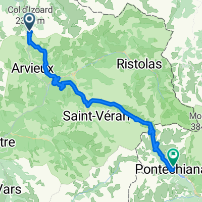
alpen2015-tag2+3
A cycling route starting in Villar-Saint-Pancrace, Provence-Alpes-Côte d'Azur Region, France.
Overview
About this route
Agnello-Souliers-Izoard-Susa-Finestre
(cloned from route 3082592)- -:--
- Duration
- 190.9 km
- Distance
- 3,092 m
- Ascent
- 4,533 m
- Descent
- ---
- Avg. speed
- ---
- Avg. speed
Route quality
Waytypes & surfaces along the route
Waytypes
Busy road
69.5 km
(36 %)
Quiet road
60.7 km
(32 %)
Surfaces
Paved
138.1 km
(72 %)
Unpaved
17.5 km
(9 %)
Asphalt
134.5 km
(70 %)
Gravel
8.4 km
(4 %)
Route highlights
Points of interest along the route
Point of interest after 71.2 km
Nacht
Continue with Bikemap
Use, edit, or download this cycling route
You would like to ride alpen2015-tag2+3 or customize it for your own trip? Here is what you can do with this Bikemap route:
Free features
- Save this route as favorite or in collections
- Copy & plan your own version of this route
- Sync your route with Garmin or Wahoo
Premium features
Free trial for 3 days, or one-time payment. More about Bikemap Premium.
- Navigate this route on iOS & Android
- Export a GPX / KML file of this route
- Create your custom printout (try it for free)
- Download this route for offline navigation
Discover more Premium features.
Get Bikemap PremiumFrom our community
Other popular routes starting in Villar-Saint-Pancrace
- Achter de camping Prelles.
- Distance
- 16.6 km
- Ascent
- 510 m
- Descent
- 509 m
- Location
- Villar-Saint-Pancrace, Provence-Alpes-Côte d'Azur Region, France
- Tour de France 2016 dzień 11
- Distance
- 136.3 km
- Ascent
- 326 m
- Descent
- 1,054 m
- Location
- Villar-Saint-Pancrace, Provence-Alpes-Côte d'Azur Region, France
- alpen2015-tag2+3
- Distance
- 190.9 km
- Ascent
- 3,092 m
- Descent
- 4,533 m
- Location
- Villar-Saint-Pancrace, Provence-Alpes-Côte d'Azur Region, France
- alpen2015-tag2
- Distance
- 44.2 km
- Ascent
- 1,232 m
- Descent
- 1,701 m
- Location
- Villar-Saint-Pancrace, Provence-Alpes-Côte d'Azur Region, France
- Camping Prelles naar Fort Briancon.
- Distance
- 28 km
- Ascent
- 856 m
- Descent
- 854 m
- Location
- Villar-Saint-Pancrace, Provence-Alpes-Côte d'Azur Region, France
- Col de Izoard vedlajsi
- Distance
- 93 km
- Ascent
- 1,764 m
- Descent
- 1,766 m
- Location
- Villar-Saint-Pancrace, Provence-Alpes-Côte d'Azur Region, France
- Isoardovskej okruh
- Distance
- 85.2 km
- Ascent
- 1,604 m
- Descent
- 1,601 m
- Location
- Villar-Saint-Pancrace, Provence-Alpes-Côte d'Azur Region, France
- Col de L'Izoard - Briancon - Guillestre
- Distance
- 60.3 km
- Ascent
- 405 m
- Descent
- 1,872 m
- Location
- Villar-Saint-Pancrace, Provence-Alpes-Côte d'Azur Region, France