

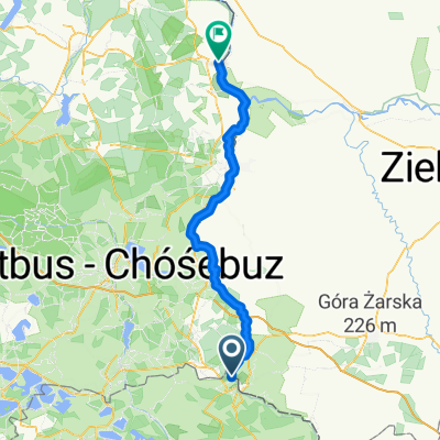
Oder Neise Muskau - Anklam
A cycling route starting in Łęknica, Lubusz Voivodship, Poland.
Overview
About this route
Teil des R12 Oder Neise Radweg
Überwiegend asphaltiert nur minimal unbefestigte Wege(cloned from route 2931564)
- -:--
- Duration
- 393.4 km
- Distance
- 115 m
- Ascent
- 217 m
- Descent
- ---
- Avg. speed
- ---
- Max. altitude
Route quality
Waytypes & surfaces along the route
Waytypes
Track
102.3 km
(26 %)
Quiet road
98.3 km
(25 %)
Surfaces
Paved
318.6 km
(81 %)
Unpaved
23.6 km
(6 %)
Asphalt
295 km
(75 %)
Concrete
15.7 km
(4 %)
Continue with Bikemap
Use, edit, or download this cycling route
You would like to ride Oder Neise Muskau - Anklam or customize it for your own trip? Here is what you can do with this Bikemap route:
Free features
- Save this route as favorite or in collections
- Copy & plan your own version of this route
- Split it into stages to create a multi-day tour
- Sync your route with Garmin or Wahoo
Premium features
Free trial for 3 days, or one-time payment. More about Bikemap Premium.
- Navigate this route on iOS & Android
- Export a GPX / KML file of this route
- Create your custom printout (try it for free)
- Download this route for offline navigation
Discover more Premium features.
Get Bikemap PremiumFrom our community
Other popular routes starting in Łęknica
 Extensive Friday Track In Łęknica
- Distance
- 15.6 km
- Ascent
- 145 m
- Descent
- 125 m
- Location
- Łęknica, Lubusz Voivodship, Poland
 D 03 90km Muskau-Eisenh.
- Distance
- 90.3 km
- Ascent
- 334 m
- Descent
- 421 m
- Location
- Łęknica, Lubusz Voivodship, Poland
 10.07.26-10.08.03"A nette Tour"
- Distance
- 566.8 km
- Ascent
- 212 m
- Descent
- 328 m
- Location
- Łęknica, Lubusz Voivodship, Poland
 Przewóz - Brody
- Distance
- 0.2 km
- Ascent
- 7 m
- Descent
- 0 m
- Location
- Łęknica, Lubusz Voivodship, Poland
 10.07.26 Sagar-Guben (13. Etappe)
- Distance
- 77.1 km
- Ascent
- 64 m
- Descent
- 138 m
- Location
- Łęknica, Lubusz Voivodship, Poland
 Brody - Eisenhüttenstadt
- Distance
- 65 km
- Ascent
- 279 m
- Descent
- 342 m
- Location
- Łęknica, Lubusz Voivodship, Poland
 Brody - Eisenhüttenstadt
- Distance
- 64.4 km
- Ascent
- 285 m
- Descent
- 356 m
- Location
- Łęknica, Lubusz Voivodship, Poland
 Bautzener Straße nach Bautzen
- Distance
- 64.5 km
- Ascent
- 330 m
- Descent
- 261 m
- Location
- Łęknica, Lubusz Voivodship, Poland
Open it in the app