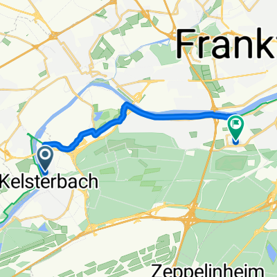
Kleiner Kornweg, Kelsterbach nach Lyoner Straße, Frankfurt am Main
- 13.7 km
- 185 m
- 191 m
- Kelsterbach, Hesse, Germany
A cycling route starting in Kelsterbach, Hesse, Germany.
Overview
Frankfurt International Airport to Mainz Railway Station.
(cloned from route 1208183)created this 10 years ago
Route quality
Path
9.8 km
(33 %)
Quiet road
6.8 km
(23 %)
Paved
23.8 km
(80 %)
Unpaved
3.9 km
(13 %)
Asphalt
20.2 km
(68 %)
Concrete
2.4 km
(8 %)
Route highlights
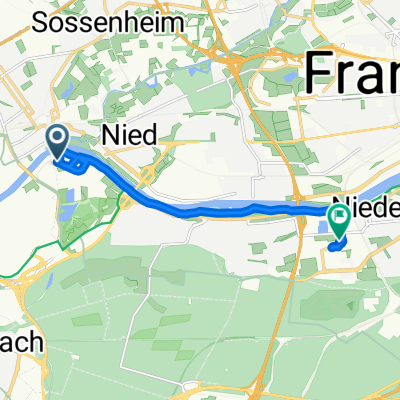
Join the cyclepath which encircles the airport, from whichever terminal you exit from.
YOUTH HOSTEL: DJH Mainz Otto-Brunfels-Schneise 4 55130 Mainz
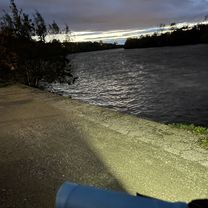
Join the Rhine Route at this point.
Continue with Bikemap
You would like to ride CYCLING THE RHINE: Route Approach E or customize it for your own trip? Here is what you can do with this Bikemap route:
Free trial for 3 days, or one-time payment. More about Bikemap Premium.
Discover more Premium features.
Get Bikemap PremiumFrom our community
Open it in the app