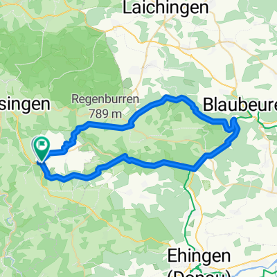


Wanderung im Großen Lautertal
- 15.5 km
- 324 m
- 324 m
- Mehrstetten, Baden-Wurttemberg, Germany
A cycling route starting in Mehrstetten, Baden-Wurttemberg, Germany.
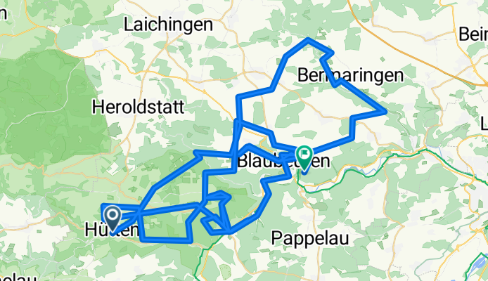
Overview
My area (cloned from route 3089547)
created this 10 years ago
Route quality
Track
53.2 km
(45 %)
Road
23.6 km
(20 %)
Paved
72.1 km
(61 %)
Unpaved
24.8 km
(21 %)
Asphalt
55.5 km
(47 %)
Gravel
10.6 km
(9 %)
Route highlights
Bärenhöhle Bärental
Felsen
Kleines Lautertal
Schelklinger Burgturm Schlüssel be Waldhuzla e.V.
Urspringquelle
Achquelle
Hohle Fels Schelklinger Venusfigur Fundort Steinzeit vor 40.000 Jahre
Blautopfquelle
Rusenburg
Continue with Bikemap
You would like to ride Meine Gegend or customize it for your own trip? Here is what you can do with this Bikemap route:
Free trial for 3 days, or one-time payment. More about Bikemap Premium.
Discover more Premium features.
Get Bikemap PremiumFrom our community
Open it in the app