

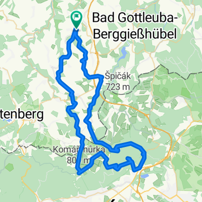
Liebstadt-Mückentürmchen
- 63.9 km
- 1,033 m
- 1,042 m
- Liebstadt, Saxony, Germany
A cycling route starting in Liebstadt, Saxony, Germany.
Overview
from Liebsadt through Telnice to the Mückentürmchen and back
created this 10 years ago
Route quality
Track
35.2 km
(55 %)
Road
17.9 km
(28 %)
Paved
16.6 km
(26 %)
Unpaved
30.1 km
(47 %)
Ground
16.6 km
(26 %)
Asphalt
14.1 km
(22 %)
Continue with Bikemap
You would like to ride Liebstadt-Mückentürmchen or customize it for your own trip? Here is what you can do with this Bikemap route:
Free trial for 3 days, or one-time payment. More about Bikemap Premium.
Discover more Premium features.
Get Bikemap PremiumFrom our community
Open it in the app


