Agios Andreas to Prasto (and back)
- 23 km
- 840 m
- 211 m
- Ágios Andréas, Peloponnese, Greece
A cycling route starting in Ágios Andréas, Peloponnese, Greece.
Overview
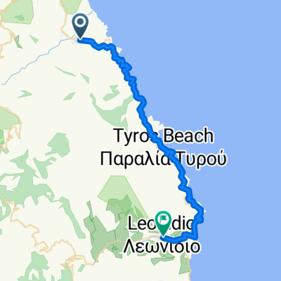
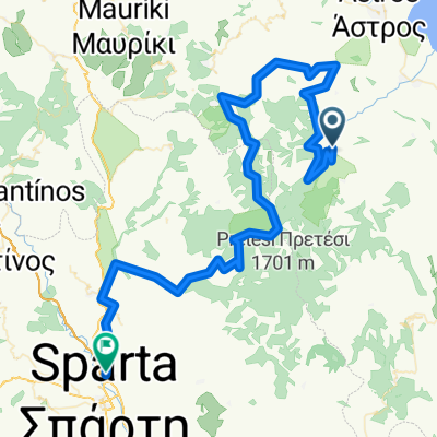
From the campsite in Tiros, we ride along the dream road by the coast to Leonidion. There we turn west into the inland and follow the valley of Daphnon. After 17 km of winding road, we reach the Elonis Monastery, founded in the 15th century, which clings to the steep cliffs of Parnon like a swallow's nest. An absolutely dream route, suitable for both road bike and MTB.
created this 16 years ago
Continue with Bikemap
You would like to ride Tiros über Leonidion zum Kloster Elonis or customize it for your own trip? Here is what you can do with this Bikemap route:
Free trial for 3 days, or one-time payment. More about Bikemap Premium.
Discover more Premium features.
Get Bikemap PremiumFrom our community
Open it in the app