Königsforst Wahner-Heide
- 61.2 km
- 220 m
- 201 m
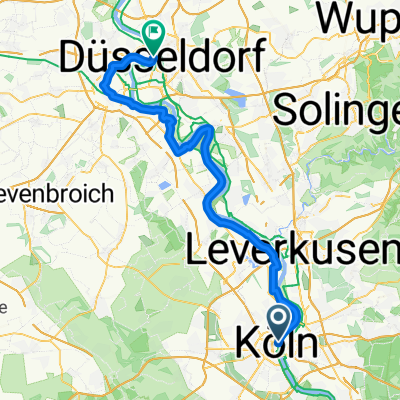
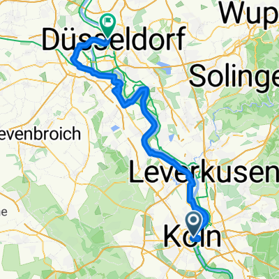
- Altstadt Nord, North Rhine-Westphalia, Germany
A cycling route starting in Altstadt Nord, North Rhine-Westphalia, Germany.
Overview
In the immediate vicinity of the Rhine corridor's metropolitan area, the Wahner Heide and Königsforst create a unique landscape of European significance, featuring a variety of ecologically sensitive areas.
created this 10 years ago
Route quality
Path
22 km
(36 %)
Track
21.4 km
(35 %)
Paved
36.7 km
(60 %)
Unpaved
19.6 km
(32 %)
Asphalt
34.9 km
(57 %)
Gravel
9.8 km
(16 %)
Route highlights

Königsforst "Rennweg"
Wahner Heide

Heideportal Turmhof

Überflug, Flughafen Köln-Bonn

Kaiser Garten Altenrather Str. 51, 53840 Troisdorf Telefon: 02241 1627892 Mittwoch 12:00–14:30 17:30–22:30


Landhaus Zündorf Marktstraße 27, 51143 Köln Telefon: 02203 81203 Mittwoch 11:00–22:59
Continue with Bikemap
You would like to ride Königsforst Wahner-Heide or customize it for your own trip? Here is what you can do with this Bikemap route:
Free trial for 3 days, or one-time payment. More about Bikemap Premium.
Discover more Premium features.
Get Bikemap PremiumFrom our community
Open it in the app