


E-bike Clos du Doubs
- 35.2 km
- 792 m
- 793 m
- Glovelier, Canton of Jura, Switzerland
A cycling route starting in Glovelier, Canton of Jura, Switzerland.
Overview
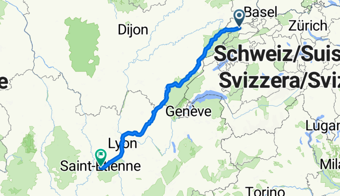
Beautiful ride along the Doubs, Ain, Saone, Rhone, and Gier
created this 10 years ago
Route quality
Road
95.7 km
(23 %)
Quiet road
91.5 km
(22 %)
Paved
191.4 km
(46 %)
Unpaved
4.2 km
(1 %)
Asphalt
183.1 km
(44 %)
Paved (undefined)
8.3 km
(2 %)
Continue with Bikemap
You would like to ride Saint Ursanne - St. Etienne or customize it for your own trip? Here is what you can do with this Bikemap route:
Free trial for 3 days, or one-time payment. More about Bikemap Premium.
Discover more Premium features.
Get Bikemap PremiumFrom our community
Open it in the app


