R.Anglerheim am Nidda_ImM_T_N_via nur Nidda
- 10.6 km
- 25 m
- 44 m
- Bad Vilbel, Hesse, Germany
A cycling route starting in Bad Vilbel, Hesse, Germany.
Overview
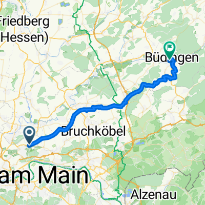
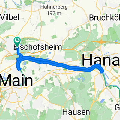
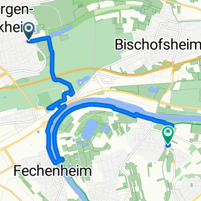
Bonames Airfield - Lohrberg - Hohe Straße - Ronneburg Castle - Büdingen - Glauberg Celtic Museum - and back
Route quality
Track
43.7 km
(40 %)
Quiet road
21.9 km
(20 %)
Paved
104.9 km
(96 %)
Unpaved
2.2 km
(2 %)
Asphalt
103.8 km
(95 %)
Concrete
1.1 km
(1 %)
Route highlights
Burg Ronneburg
Continue with Bikemap
You would like to ride Hohe Straße - Burg Ronneburg und weiter or customize it for your own trip? Here is what you can do with this Bikemap route:
Free trial for 3 days, or one-time payment. More about Bikemap Premium.
Discover more Premium features.
Get Bikemap PremiumFrom our community
Open it in the app