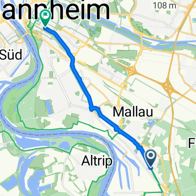
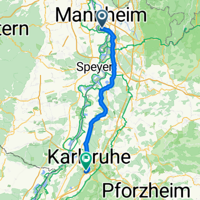
Nach Neustadt
- 94.2 km
- 317 m
- 313 m
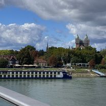
- Altrip, Rhineland-Palatinate, Germany
A cycling route starting in Altrip, Rhineland-Palatinate, Germany.
Overview
created this 16 years ago
Route quality
Road
27.9 km
(27 %)
Track
13.4 km
(13 %)
Paved
83.6 km
(81 %)
Unpaved
7.2 km
(7 %)
Asphalt
77.4 km
(75 %)
Paved (undefined)
5.2 km
(5 %)
Continue with Bikemap
You would like to ride Altrip - Kalmit - Rotsteig CLONED FROM ROUTE 136545 or customize it for your own trip? Here is what you can do with this Bikemap route:
Free trial for 3 days, or one-time payment. More about Bikemap Premium.
Discover more Premium features.
Get Bikemap PremiumFrom our community
Open it in the app